Documento original
GPT Image 2 · en
Scene:
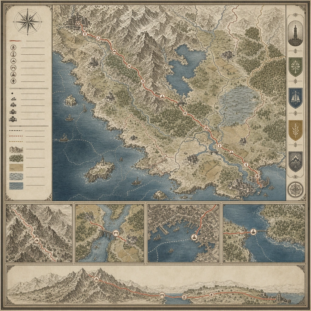
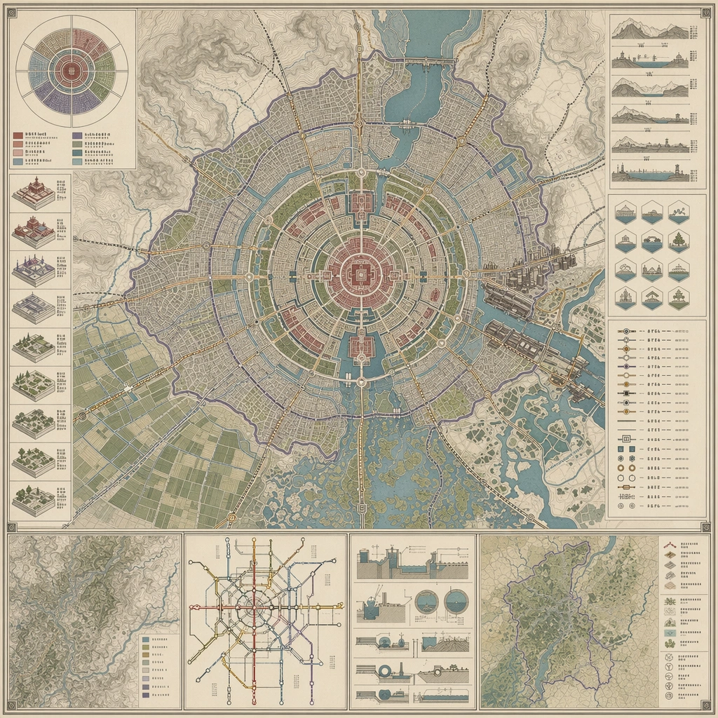
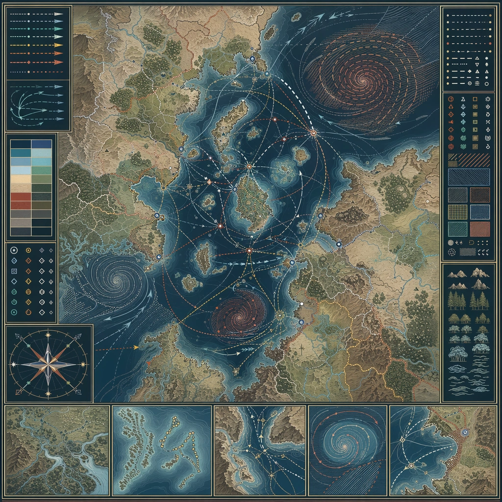
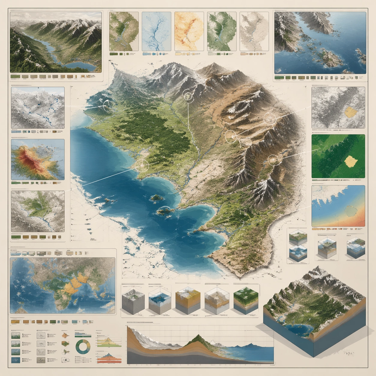
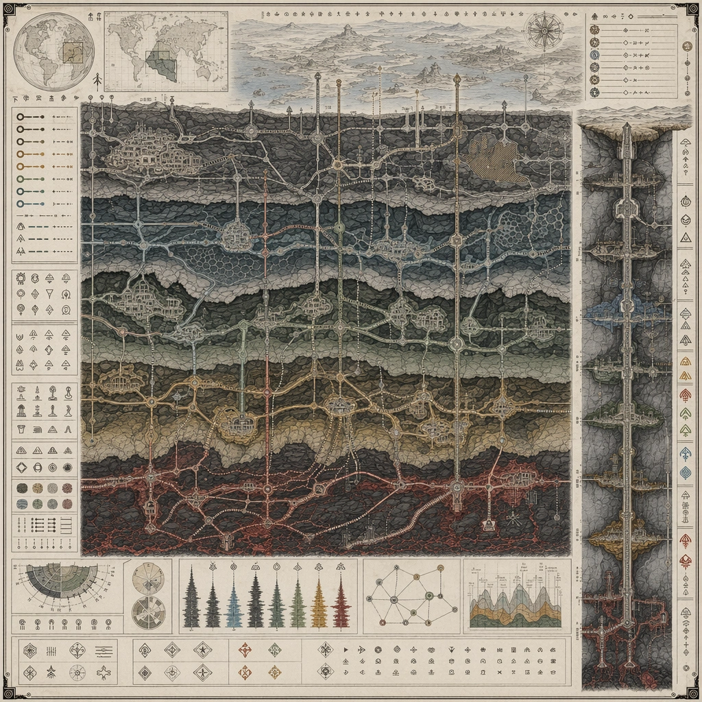
Design a square atlas or legend sheet that stands alone as a worldbuilding artifact. The layout should feel publishable, with clear map priority, supporting insets, and believable information density. Build a map that cuts beneath the surface world, showing tunnel layers, junction nodes, shaft access, and underground districts in a structured plate.

Subject:
Show a map-driven system such as district boundaries, migration routes, underground rails, climate zones, pilgrimage paths, or maritime networks. The cartography should imply social, political, or environmental logic beyond pure decoration. The main protagonist is route logic, with surface insets only supporting the subsurface transport story.

Important details:
Favor disciplined line work, restrained palette coding, and coherent terrain abstraction. The board should communicate world structure even though no readable labels are present. The sheet should feel infrastructural and world-rich, balancing abstraction with believable access patterns. Preserve cartographic causality so routes, borders, resources, and environmental features all make sense together.

Use case:
Atlas Set single study 2/5, designed as a self-contained support image for this topic.

Constraints:
No readable text, no watermark, no logos, preserve exact 1:1 aspect ratio, no readable labels, no game-minimap UI, no random decorative monsters, no travel-brochure icons, no modern metro logo design.
Cómo usar
- Copia el prompt original completo, incluidos los parámetros.
- Adapta el tema, el texto y la composición a tus necesidades.
- Usa una herramienta externa compatible; comprueba el acceso y el resultado.
Antes de empezar
- Comprueba si necesita una imagen de referencia. La compatibilidad no demuestra qué modelo generó el ejemplo.
- Revisa nombres, cifras y textos; el resultado puede variar entre versiones del modelo.