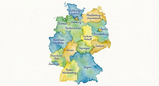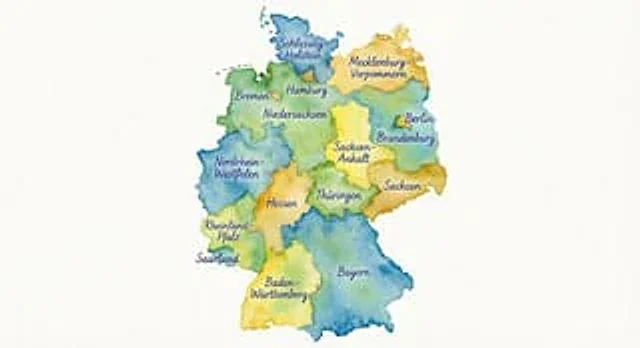
Watercolor map of Germany with labeled states

Watercolor map of Germany with labeled states

原始文档

Nano Banana Pro · de

Erzeuge eine Karte von Deutschland im Wasserfarben-Stil, auf der alle Bundesländer mit Kugelschreiber benannt sind.

使用方法

  1. 复制完整原始提示词,并保留其中的参数。
  2. 按需求替换主体、文字和构图要求。
  3. 在兼容的外部工具中使用,核对当前使用条件并检查结果。

开始前需了解

  • 先确认是否需要参考图。标注兼容模型,不代表该示例由这个模型生成。
  • 核对名称、数字与画面文字;不同模型版本的结果可能不同。

相似案例

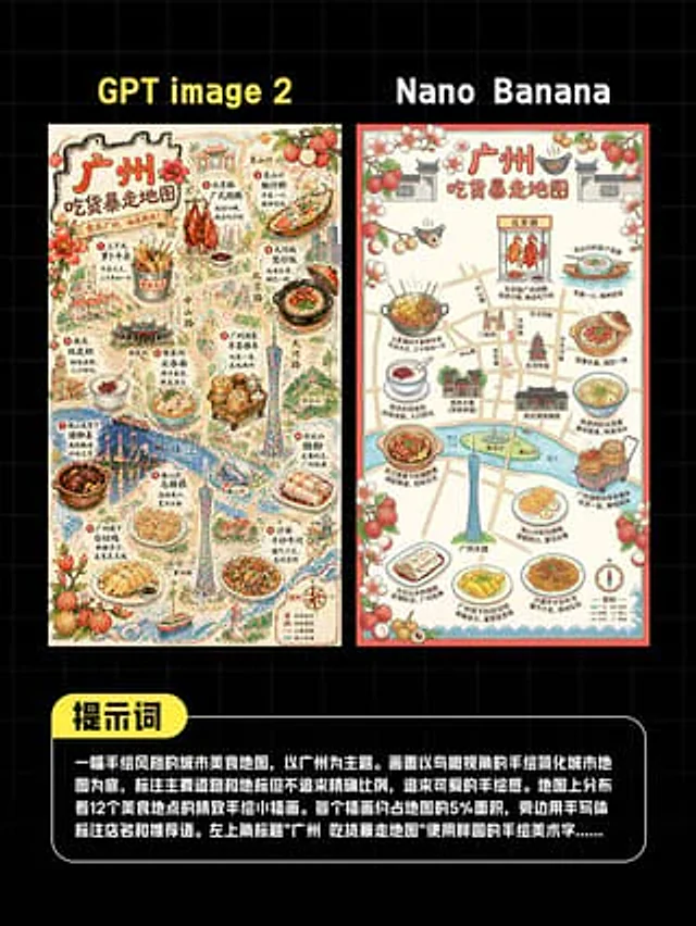
AI Guangzhou Food Map Comparison
GPT Image 2en

This is a comparison image with a black background and a light gray grid, designed in a style similar to a social media quiz result poster. At the top are two large, bold sans-serif headlines side-by-side: "GPT image 2" above the left image and "Nano Banana" above the right. Belo

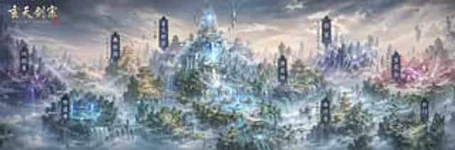
Xianxia Sect Panorama Map
GPT Image 2en

A grand, ultra-wide, cinematic-quality map of a fantasy world unfolds, showcasing an incredibly detailed panorama of Chinese cultivation sects, viewed from a high vantage point above a sea of ​​clouds. The scene depicts a magnificent mountain range comprised of numerous steep, ro

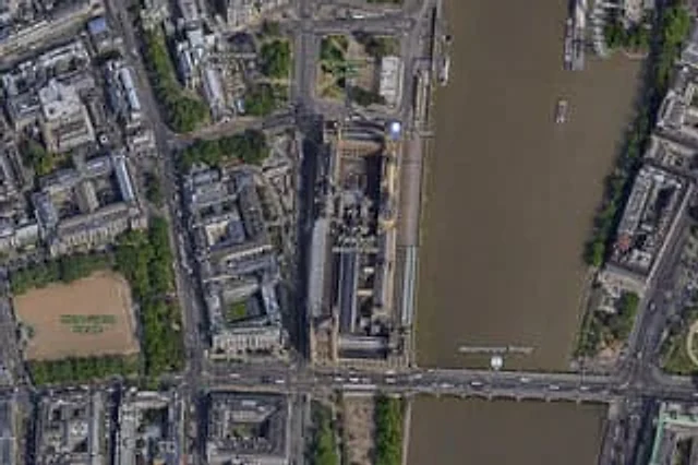
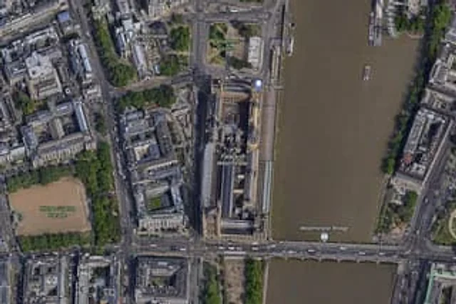
Satellite Map of Big Ben Area
GPT Image 2en

A high-resolution top-down satellite map view of central {argument name="city" default="London"}, focused tightly on the area around {argument name="landmark" default="Big Ben"} and the Palace of Westminster beside the River Thames. Show a realistic aerial orthographic perspectiv

Satellite Map of Big Ben Area
GPT Image 2en

A{argument name="city" default="London"} High-resolution overhead satellite map with the city center as its core, closely focused on{argument name="landmark" default="Big Ben"} And the area surrounding Westminster Palace on the banks of the Thames. Presented as a realistic aerial

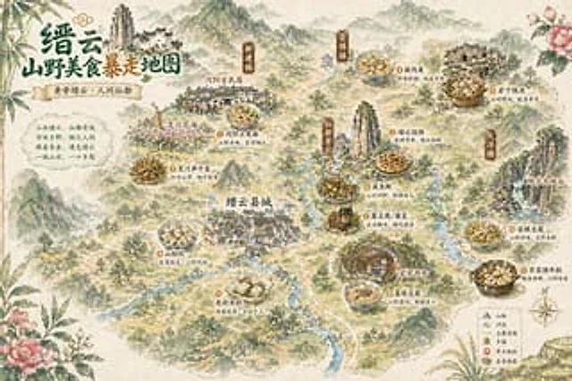
Vintage Chinese Food Map Poster
GPT Image 2en

A hand-drawn retro-style poster depicting Chinese tourism and food, using watercolor and ink painting techniques, presents a bird's-eye view of a misty mountain town. The composition is stylized.{argument name="place name" default="Jinyun"} The illustrated map features delicate r