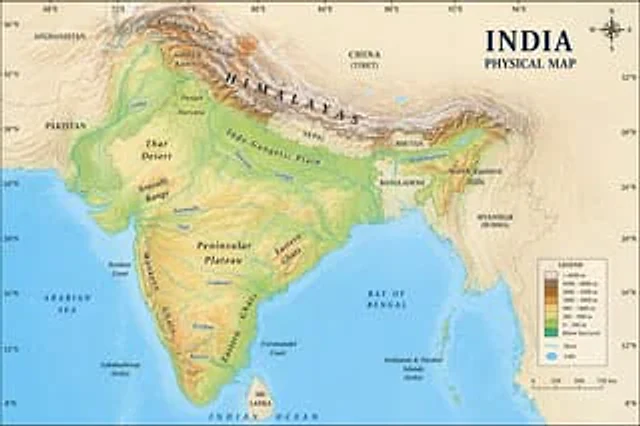
Geographic Map Illustration

Geographic Map Illustration

Documento original

GPT Image 2 · en

A location{argument name="country" default="Indian"} Images on physical maps

Cómo usar

  1. Copia el prompt original completo, incluidos los parámetros.
  2. Adapta el tema, el texto y la composición a tus necesidades.
  3. Usa una herramienta externa compatible; comprueba el acceso y el resultado.

Antes de empezar

  • Comprueba si necesita una imagen de referencia. La compatibilidad no demuestra qué modelo generó el ejemplo.
  • Revisa nombres, cifras y textos; el resultado puede variar entre versiones del modelo.
Ejemplos similares

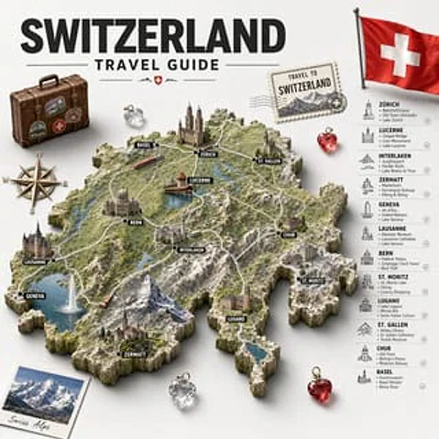
Swiss Travel Guide Relief Map Poster
GPT Image 2en

Create a detailed, retro-style illustrated travel poster and infographic with the theme of{argument name="country name" default="Switzerland"} A sculptural 3D topographic map is displayed at the center against a light gray background. A striking black sans-serif bold title is pla

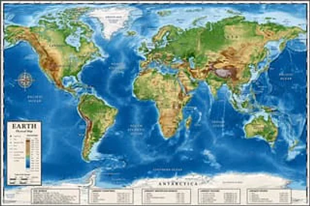
Detailed Physical World Map with Info Panels
GPT Image 2en

{ "type": "Highly detailed cartographic world map", "style": "{argument name=\"color palette\" default=\"Realistic terrain and depth sounding colors\"}", "map_features": { "terrain": "The shading relief, in green, brown and white, shows mountains, valleys and plains.",

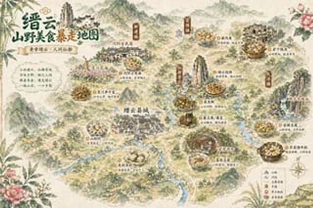
Vintage Chinese Food Map Poster
GPT Image 2en

A hand-drawn retro-style poster depicting Chinese tourism and food, using watercolor and ink painting techniques, presents a bird's-eye view of a misty mountain town. The composition is stylized.{argument name="place name" default="Jinyun"} The illustrated map features delicate r

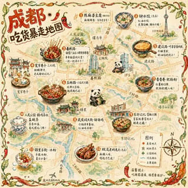
Illustrated City Food Map
GPT Image 2en

{ "type": "Hand-drawn map infographic", "style": "{argument name=\"art style\" default=\"Watercolor ink hand-drawn illustrations on vintage parchment\"}", "title_section": { "text": "{argument name=\"city name\" default=\"Chengdu\"} {argument name=\"map title\" default=