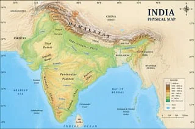
Geographic Map Illustration

Geographic Map Illustration

Documento originale

GPT Image 2 · en

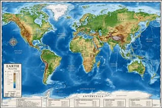
A location{argument name="country" default="Indian"} Images on physical maps

Come usare

  1. Copia tutto il prompt originale, inclusi i parametri.
  2. Adatta soggetto, testo e composizione alle tue esigenze.
  3. Usa uno strumento esterno compatibile; verifica accesso e risultato.

Prima di iniziare

  • Controlla se serve un’immagine di riferimento. La compatibilità non prova il modello usato per l’esempio.
  • Verifica nomi, numeri e testi; i risultati cambiano con le versioni del modello.
Esempi simili

Detailed Physical World Map with Info Panels
GPT Image 2en

{ "type": "Highly detailed cartographic world map", "style": "{argument name=\"color palette\" default=\"Realistic terrain and depth sounding colors\"}", "map_features": { "terrain": "The shading relief, in green, brown and white, shows mountains, valleys and plains.",

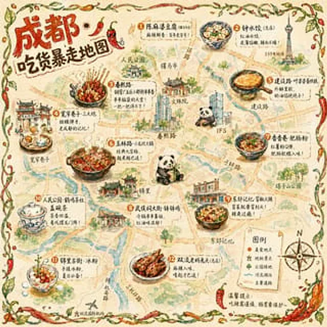
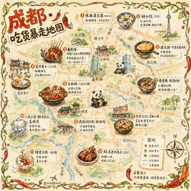
Illustrated City Food Map
GPT Image 2en

{ "type": "Hand-drawn map infographic", "style": "{argument name=\"art style\" default=\"Watercolor ink hand-drawn illustrations on vintage parchment\"}", "title_section": { "text": "{argument name=\"city name\" default=\"Chengdu\"} {argument name=\"map title\" default=

Hand-drawn Chengdu Food Map
GPT Image 2en

A{argument name="city" default="Chengdu"} A hand-drawn city food map themed around [the theme]. The image is a simplified hand-drawn city map based on a bird's-eye view, with major roads and landmarks marked in a cute, asymmetrical hand-drawn style. Twelve exquisite small hand-dr

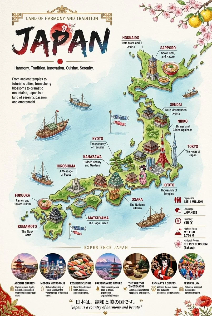
Illustrated Travel Maps with Cultural Callouts
Nano Bananaen

Two vertical, highly detailed, illustrated travel infographic maps showcasing Japan and Russia. Each poster features a stylized, colorful 3D-rendered country map surrounded by deep blue seas, populated with miniature cultural landmarks, regional food items, and local wildlife con