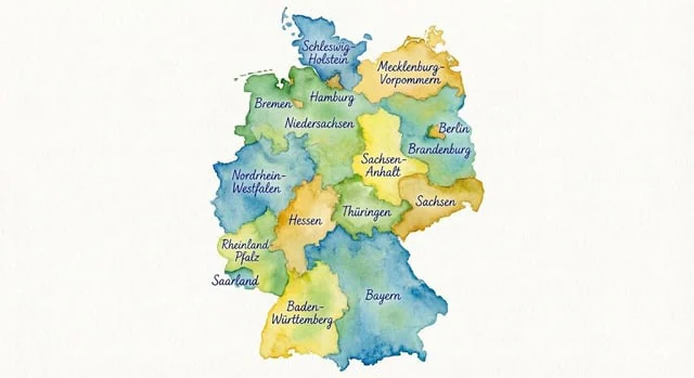
Watercolor map of Germany with labeled states

Watercolor map of Germany with labeled states

Document original

Nano Banana Pro · de

Generate a map of Germany in watercolor style, on which all federal states are labeled in ballpoint pen.

Mode d’emploi

  1. Copiez le prompt original complet, paramètres compris.
  2. Adaptez le sujet, le texte et la composition à vos besoins.
  3. Utilisez un outil externe compatible ; vérifiez l’accès et le résultat.

Avant de commencer

  • Vérifiez si une image de référence est nécessaire. La compatibilité ne prouve pas le modèle utilisé pour cet exemple.
  • Vérifiez noms, chiffres et textes ; les versions du modèle peuvent produire des résultats différents.
Exemples similaires

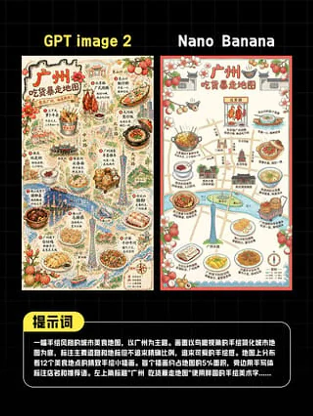
AI Guangzhou Food Map Comparison
GPT Image 2en

This is a comparison image with a black background and a light gray grid, designed in a style similar to a social media quiz result poster. At the top are two large, bold sans-serif headlines side-by-side: "GPT image 2" above the left image and "Nano Banana" above the right. Belo

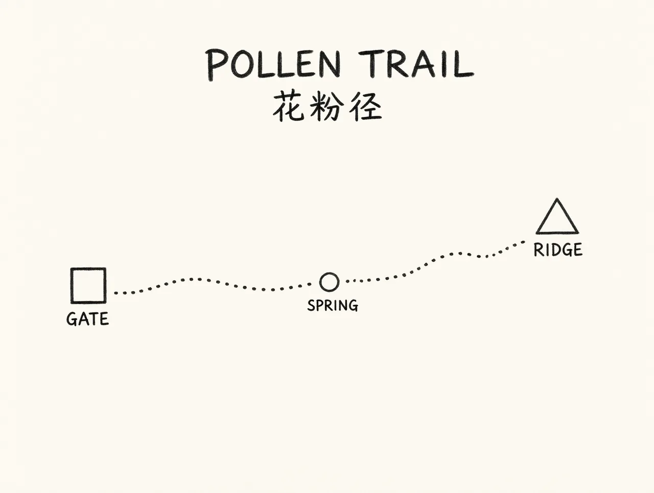
Pollen Trail schematic map
Qwen Image 3.0en

Simple schematic trail map on cream paper, not a real place. A single dotted path from a square labeled GATE to a triangle labeled RIDGE, with a small circle labeled SPRING halfway. Title at the top exactly POLLEN TRAIL and the Chinese line 花粉径 under the title. Those five words a