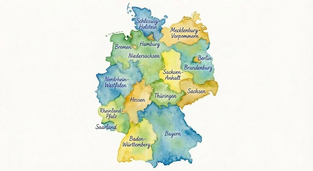
Watercolor map of Germany with labeled states

Watercolor map of Germany with labeled states

Original document

Nano Banana Pro · de

Generate a map of Germany in watercolor style, on which all federal states are labeled in ballpoint pen.

How to use

  1. Copy the complete original prompt, including any parameters.
  2. Replace the subject, text and composition with your own requirements.
  3. Use a compatible external tool; check its current access conditions and review the result.

Before you start

  • Check whether a reference image is required. A compatible model label does not mean this example was generated with that model.
  • Keep names, figures and visible text accurate; results can vary between model versions.
More like this

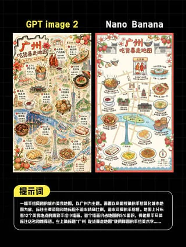
AI Guangzhou Food Map Comparison
GPT Image 2en

This is a comparison image with a black background and a light gray grid, designed in a style similar to a social media quiz result poster. At the top are two large, bold sans-serif headlines side-by-side: "GPT image 2" above the left image and "Nano Banana" above the right. Belo

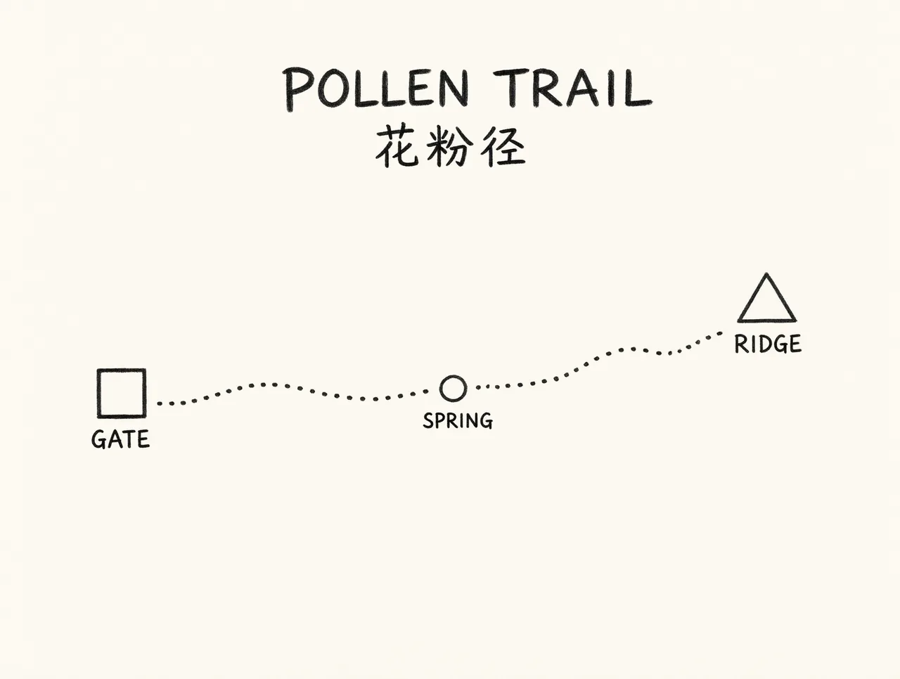
Pollen Trail schematic map
Qwen Image 3.0en

Simple schematic trail map on cream paper, not a real place. A single dotted path from a square labeled GATE to a triangle labeled RIDGE, with a small circle labeled SPRING halfway. Title at the top exactly POLLEN TRAIL and the Chinese line 花粉径 under the title. Those five words a