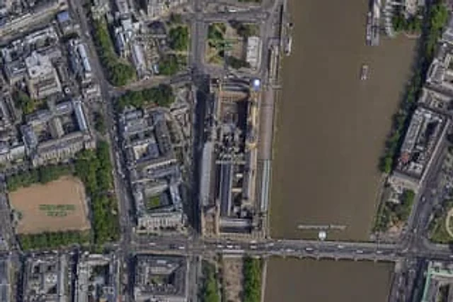
Satellite Map of Big Ben Area

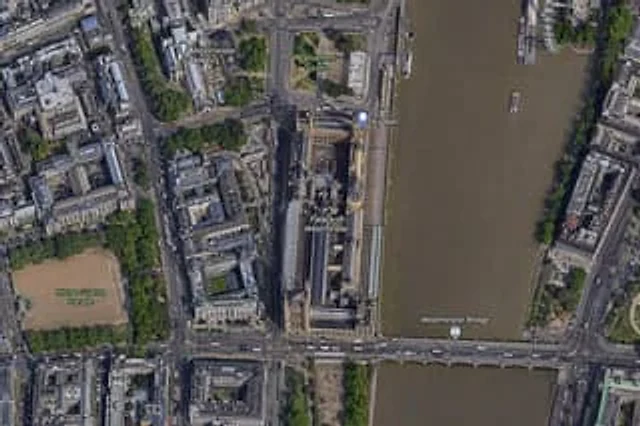
Satellite Map of Big Ben Area

原文

GPT Image 2 · en

A high-resolution top-down satellite map view of central {argument name="city" default="London"}, focused tightly on the area around {argument name="landmark" default="Big Ben"} and the Palace of Westminster beside the River Thames. Show a realistic aerial orthographic perspective like a modern digital map or satellite layer, with detailed rooftops, streets, trees, shadows, and brownish river water. Place the long Palace of Westminster complex vertically near the center-right, directly along the west bank of the river, with Big Ben at the northeast corner of the palace near the river edge. A bridge labeled {argument name="bridge name" default="Westminster Bridge"} crosses horizontally near the bottom of the frame from left to right over the river. Include 6 visible map labels total: {argument name="label 1" default="Westminster Abbey"}, {argument name="label 2" default="Parliament Square"}, Big Ben, Palace of Westminster, Westminster Bridge, and Horse Guards Parade. Also show Whitehall as a labeled road running vertically on the left side of the palace area. Surrounding details should include Westminster Abbey in the upper left quadrant, Parliament Square above the palace, Horse Guards Parade as a large sandy rectangular ground in the lower left quadrant, dense city blocks and roads on the left half, the River Thames occupying the full right side, embankments on both sides, a few boats on the river, and tree-lined streets and parks. Use natural satellite-image colors, crisp cartographic label overlays, and the look of a zoomed-in online maps screenshot.

使い方

  1. パラメータを含む元のプロンプト全体をコピーします。
  2. 被写体、文字、構図を自分の要件に置き換えます。
  3. 対応する外部ツールで使用し、利用条件と結果を確認します。

開始前の確認

  • 参考画像の要否を確認してください。互換モデルの表示は、そのモデルでの生成実績を意味しません。
  • 名前、数値、画像内の文字を確認します。モデルの版で結果は変わります。
似た事例

Satellite Map of Big Ben Area
GPT Image 2en

A{argument name="city" default="London"} High-resolution overhead satellite map with the city center as its core, closely focused on{argument name="landmark" default="Big Ben"} And the area surrounding Westminster Palace on the banks of the Thames. Presented as a realistic aerial

Vintage Chinese Food Map Poster
GPT Image 2en

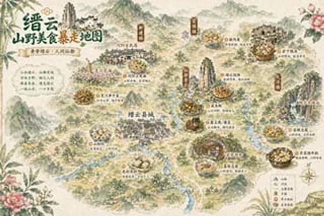
A hand-drawn retro-style poster depicting Chinese tourism and food, using watercolor and ink painting techniques, presents a bird's-eye view of a misty mountain town. The composition is stylized.{argument name="place name" default="Jinyun"} The illustrated map features delicate r

Miniature 3D City Diorama Map
GPT Image 2en

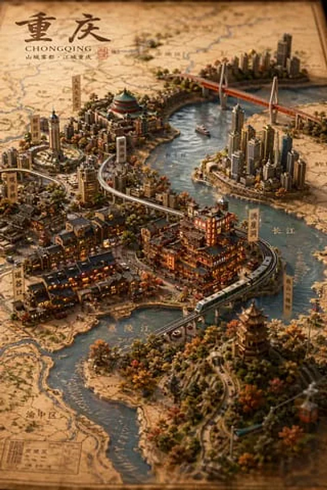
A highly detailed isometric 3D miniature city model map, showcasing{argument name="city name" default="Chongqing"} The scene blends traditional Chinese architecture with modern skyscrapers against a backdrop of vintage parchment maps. A winding river flows through the scene, with

Detailed Physical World Map with Info Panels
GPT Image 2en

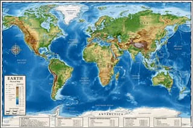
{ "type": "Highly detailed cartographic world map", "style": "{argument name=\"color palette\" default=\"Realistic terrain and depth sounding colors\"}", "map_features": { "terrain": "The shading relief, in green, brown and white, shows mountains, valleys and plains.",

Chengdu Hand-Drawn Food Map UI
GPT Image 2en

This is a screenshot-style AI-generated chat interface composition. The background is a light gray application interface, with a rounded white panel with a soft shadow in the center. Near the top is a large, light mint green chat bubble containing a black sans-serif Chinese strin

Vintage 3D Miniature City Map
GPT Image 2en

{ "type": "Isometric 3D map illustration", "style": "Retro map-drawing style, combined with highly detailed miniature models, warm lighting, and tilt-shift photography effects.", "background": "Old parchment with faint contour lines and map grids", "title_section": {