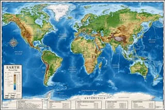
Detailed Physical World Map with Info Panels

Detailed Physical World Map with Info Panels

原文

GPT Image 2 · en

{
  "type": "Highly detailed cartographic world map",
  "style": "{argument name=\"color palette\" default=\"Realistic terrain and depth sounding colors\"}",
  "map_features": {
    "terrain": "The shading relief, in green, brown and white, shows mountains, valleys and plains.",
    "oceans": "Different shades of blue create varying depths of shadow; light blue represents the continental shelf, while dark blue represents the deep-sea trench.",
    "grid": "Latitude and longitude lines covering the entire map",
    "labels": "Major continents, countries, oceans, and sea areas are clearly marked in serif and sans-serif fonts."
  },
  "layout": {
    "overlays": [
      {
        "type": "Compass Rose",
        "position": "Left side of the middle, located above the Pacific Ocean",
        "description": "Classic 8-direction nautical compass"
      },
      {
        "type": "legend",
        "position": "bottom left corner",
        "title": "{argument name=\"map title\" default=\"Earth\"}",
        "subtitle": "{argument name=\"map type\" default=\"Physical map\"}",
        "contents": "Altitude color key, map symbols and distance scale"
      }
    ],
    "bottom_panels": {
      "count": 5,
      "position": "horizontal row along the bottom",
      "labels": [
        "World Overview",
        "Largest country",
        "Longest mountain",
        "Largest Ocean",
        "Longest River"
      ]
    }
  }
}

使い方

  1. パラメータを含む元のプロンプト全体をコピーします。
  2. 被写体、文字、構図を自分の要件に置き換えます。
  3. 対応する外部ツールで使用し、利用条件と結果を確認します。

開始前の確認

  • 参考画像の要否を確認してください。互換モデルの表示は、そのモデルでの生成実績を意味しません。
  • 名前、数値、画像内の文字を確認します。モデルの版で結果は変わります。
似た事例

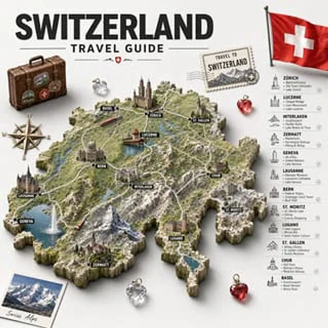
Swiss Travel Guide Relief Map Poster
GPT Image 2en

Create a detailed, retro-style illustrated travel poster and infographic with the theme of{argument name="country name" default="Switzerland"} A sculptural 3D topographic map is displayed at the center against a light gray background. A striking black sans-serif bold title is pla

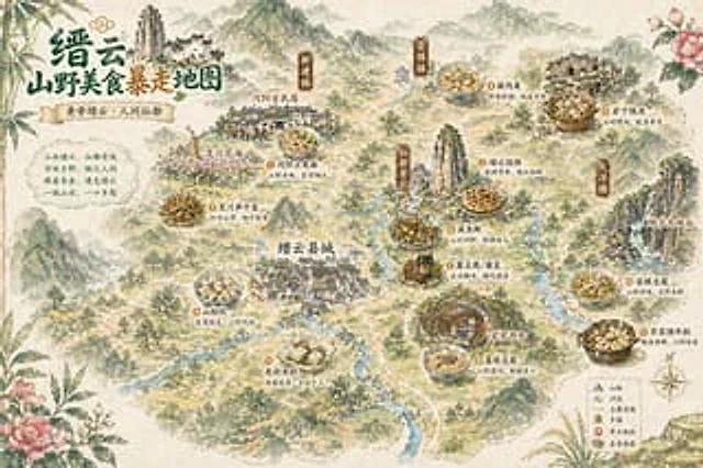
Vintage Chinese Food Map Poster
GPT Image 2en

A hand-drawn retro-style poster depicting Chinese tourism and food, using watercolor and ink painting techniques, presents a bird's-eye view of a misty mountain town. The composition is stylized.{argument name="place name" default="Jinyun"} The illustrated map features delicate r

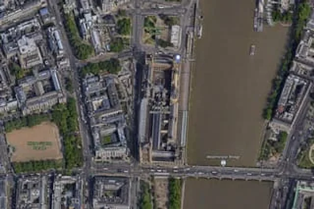
Satellite Map of Big Ben Area
GPT Image 2en

A{argument name="city" default="London"} High-resolution overhead satellite map with the city center as its core, closely focused on{argument name="landmark" default="Big Ben"} And the area surrounding Westminster Palace on the banks of the Thames. Presented as a realistic aerial

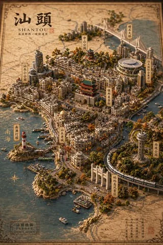
Vintage 3D Miniature City Map
GPT Image 2en

{ "type": "Isometric 3D map illustration", "style": "Retro map-drawing style, combined with highly detailed miniature models, warm lighting, and tilt-shift photography effects.", "background": "Old parchment with faint contour lines and map grids", "title_section": {

Bilingual 5-Day Family Travel Map
GPT Image 2en

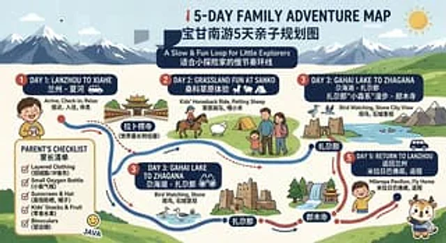
{ "type": "Bilingual illustrated tourist information route map", "style": "Flat, brightly colored family poster illustrations, using simple vector shapes, soft textured shadows, and a playful travel brochure aesthetic, with a wide horizontal layout.", "theme": "5-Day Family

Chengdu Hand-Drawn Food Map UI
GPT Image 2en

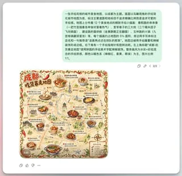
This is a screenshot-style AI-generated chat interface composition. The background is a light gray application interface, with a rounded white panel with a soft shadow in the center. Near the top is a large, light mint green chat bubble containing a black sans-serif Chinese strin