Concrete Wall with ASR Map Cracking

Concrete Wall with ASR Map Cracking

원본 문서

GPT Image 2 · en

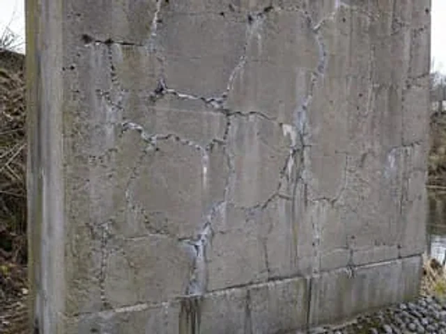
A highly realistic, documentary-style close-up photograph showcases an outdoor, weathered reinforced concrete bridge pier or retaining wall, exhibiting severe alkali-aggregate reaction damage. The wall occupies most of the frame and is shot at a slightly tilted angle, making the front and left edges clearly visible. The concrete surface is gray, rough, aged, and stained, covered with a dense, irregular network of polygonal, map-like cracks, with approximately 18 clearly visible main crack units on the surface. Many crack edges have pale white, gelatinous exudates and powdery deposits, and at several crack intersections, vertical white and brown water stains extend downwards. A horizontal construction joint or baseline is present near the base of the wall, with darker, damp stains below and fine moss or algae discoloration at the edges. The scene is set in a cloudy riverside or drainage ditch environment with sparse winter vegetation, rocks in the lower right corner, and a narrow band of still water along the right edge of the image. The lighting is natural and soft, the color tone is neutral, and the aesthetics of an engineering inspection photograph are evident. The surface texture is clearly defined, and there are no people, tools, text, or annotations.

사용 방법

  1. 매개변수를 포함한 전체 원본 프롬프트를 복사하세요.
  2. 주제, 문구, 구도를 자신의 요구에 맞게 바꾸세요.
  3. 호환되는 외부 도구에서 사용하고 이용 조건과 결과를 확인하세요.

시작 전 확인

  • 참조 이미지가 필요한지 확인하세요. 호환 표시는 해당 모델로 이 예시를 생성했다는 뜻이 아닙니다.
  • 이름, 수치, 이미지 속 문구를 확인하세요. 모델 버전에 따라 결과가 다를 수 있습니다.
비슷한 예시

Winter Concrete Salt Damage Close-Up
GPT Image 2en

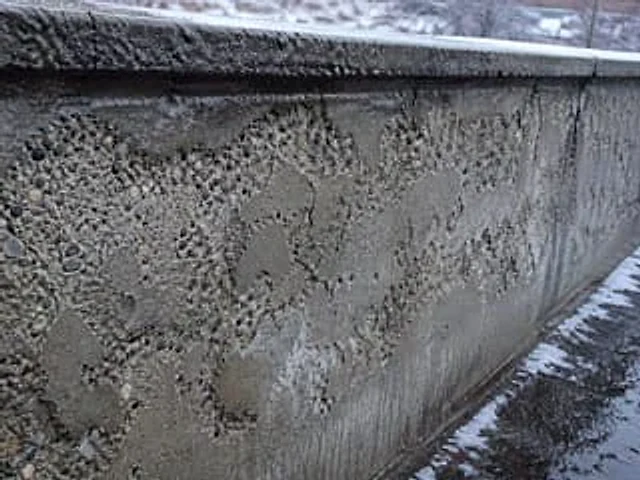
A hyper-realistic, documentary-style close-up photograph showcases severe salt damage on a concrete retaining wall weathered in winter. Shot from a low, oblique angle, the wall extends deep into the right side of the frame. A thin layer of snow and frost covers the top, while the

Coastal Reinforced Concrete Salt Damage
GPT Image 2en

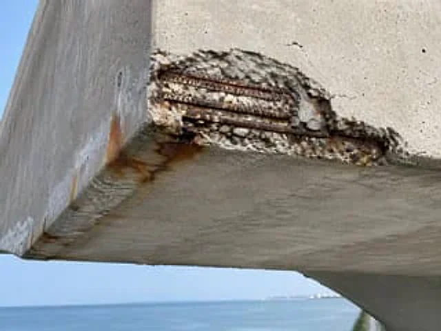
A hyper-realistic, documentary-style close-up photograph showcases severe chloride corrosion damage on a coastal reinforced concrete structure, taken from a slightly upward angle at the corner of a cantilever beam or pier. The image reveals a large area of ​​spalling at the outer

Realistic Cracked Concrete Beam
GPT Image 2en

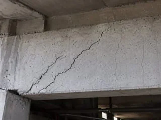
A highly realistic documentary-style close-up photo shows a seriously {argument name="damage type" default="shear cracks"} The scene depicts a reinforced concrete structural beam. The image shows the bottom of the concrete structure, with a large diagonal crack extending upwards

Landscape Archive Model Map
GPT Image 2en

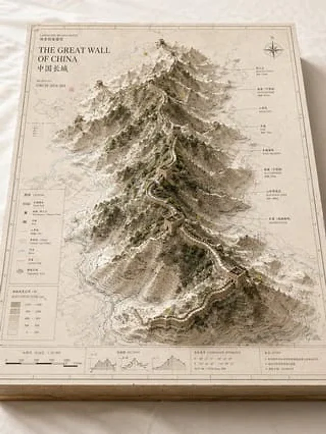
Please base on{argument name="subject" default="Great Wall / Mount Everest / The Bund / Pearl River"} Create a high-quality, professional "landscape archive model" visual suitable for a series of presentations. This is more than just a regular map or simple landscape illustration

Satellite Map of Big Ben Area
GPT Image 2en

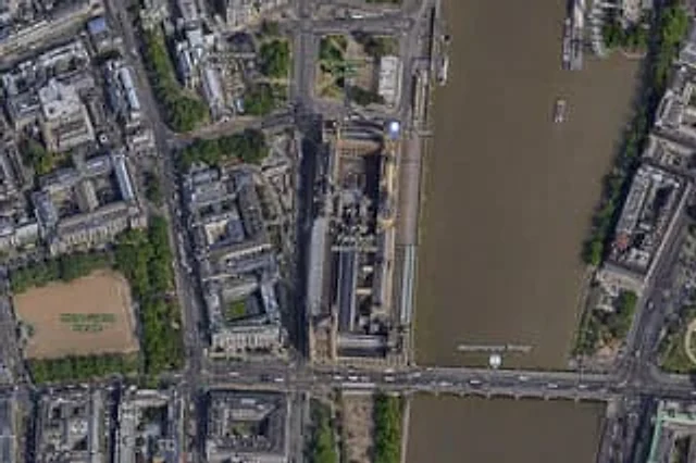
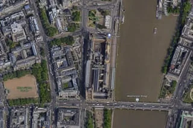
A high-resolution top-down satellite map view of central {argument name="city" default="London"}, focused tightly on the area around {argument name="landmark" default="Big Ben"} and the Palace of Westminster beside the River Thames. Show a realistic aerial orthographic perspectiv

Satellite Map of Big Ben Area
GPT Image 2en

A{argument name="city" default="London"} High-resolution overhead satellite map with the city center as its core, closely focused on{argument name="landmark" default="Big Ben"} And the area surrounding Westminster Palace on the banks of the Thames. Presented as a realistic aerial