Oryginalny dokument
GPT Image 2 · en
Scene:
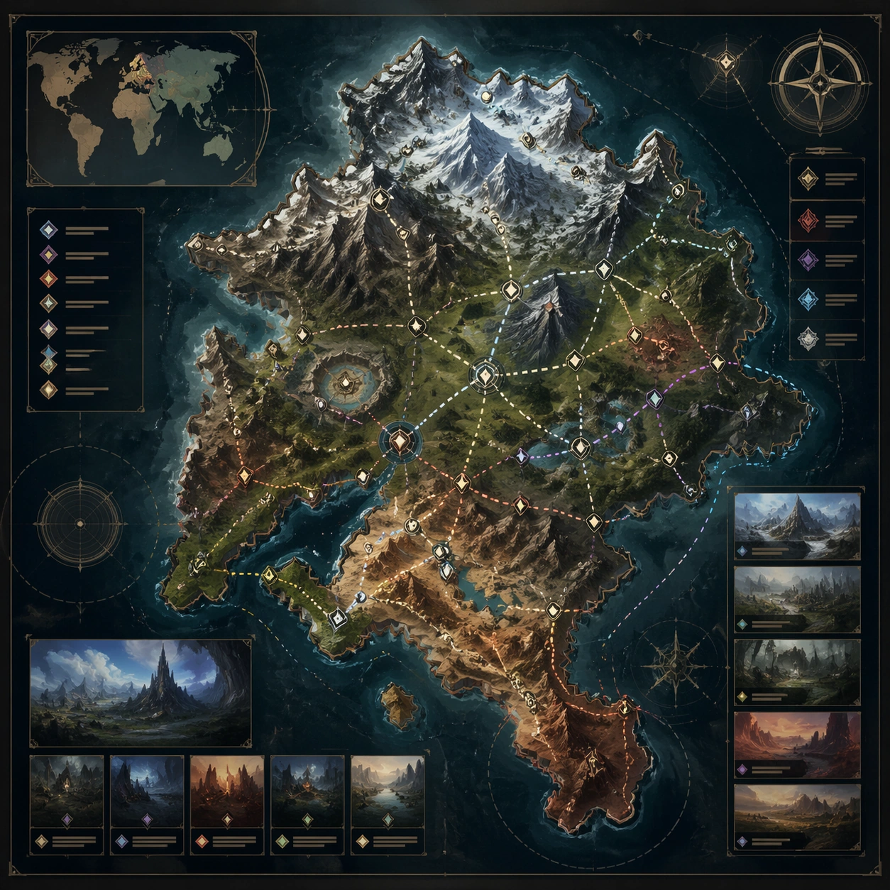
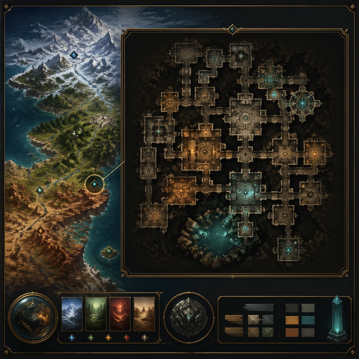
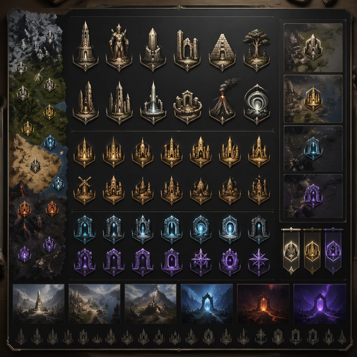
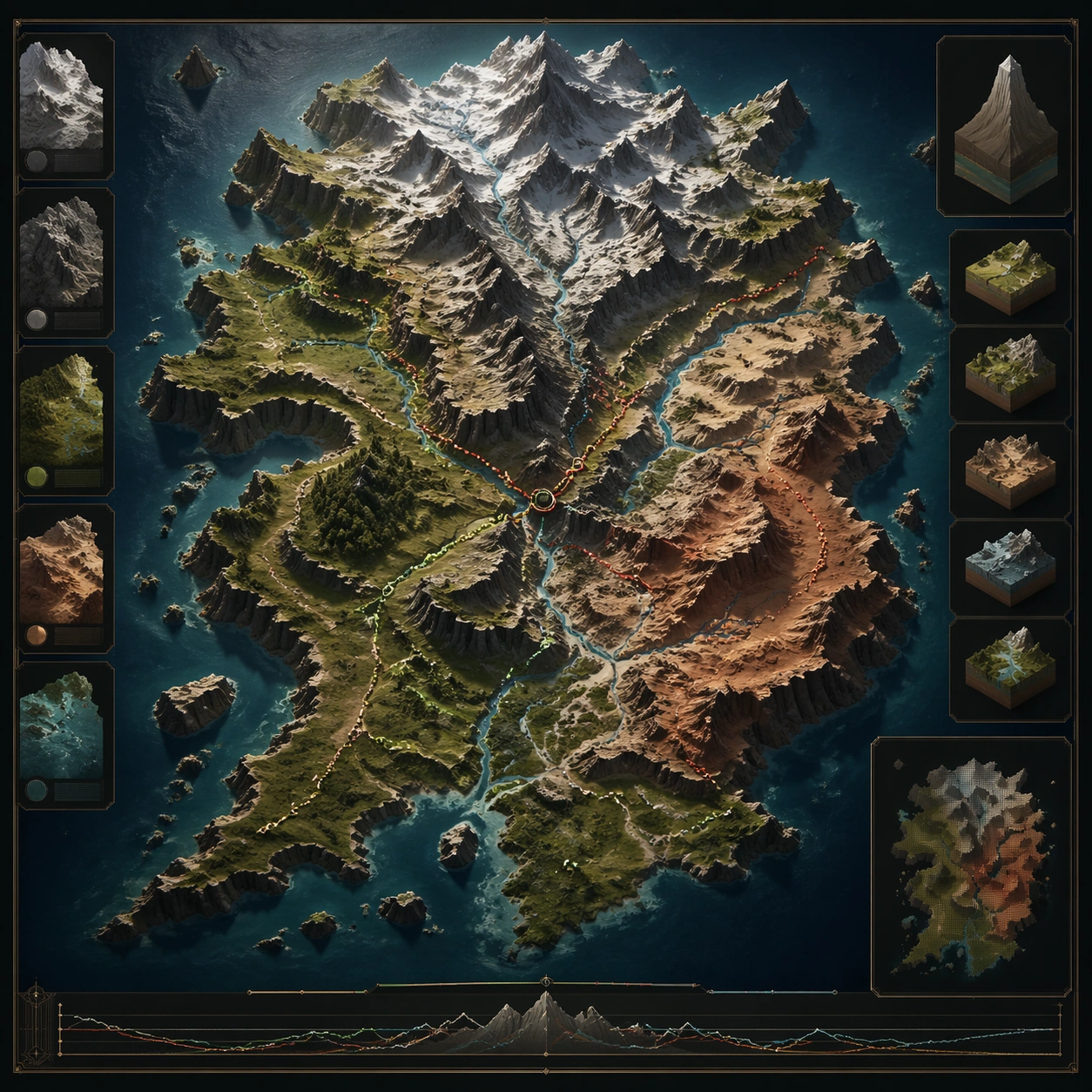
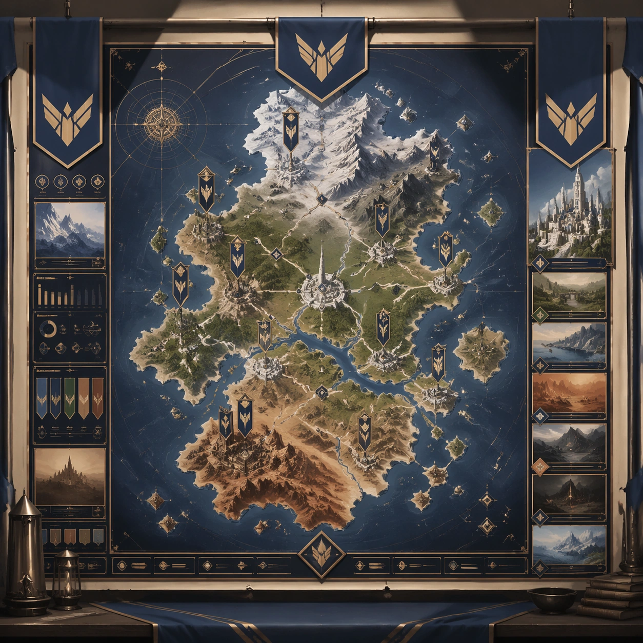
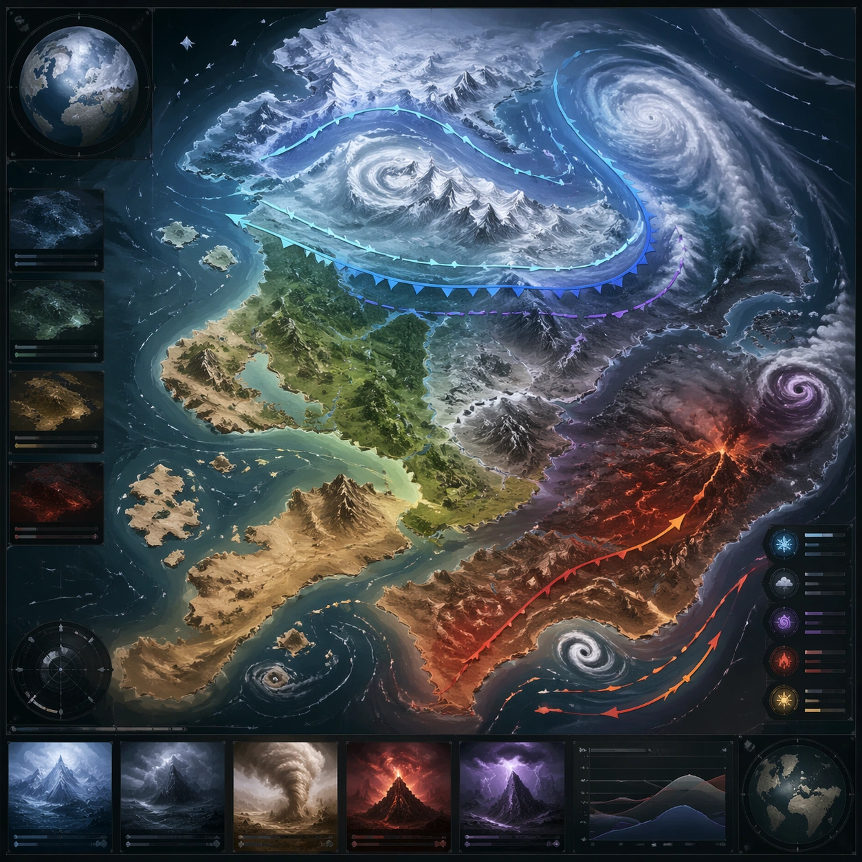
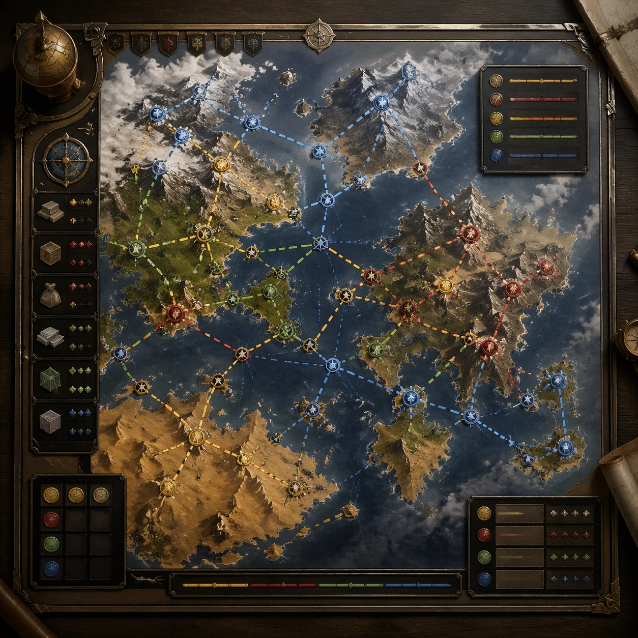
A square production-ready image designed for a game-art review wall and a commercial gallery at the same time. Frame a logistics-focused route board showing trade flow, chokepoints, and safe passages across the map with disciplined lighting, clean edge separation, and enough surrounding context to prove how the asset would behave in a real product surface. The camera, crop, and tonal balance should feel intentional rather than generic, with high readability at first glance and convincing material response under closer inspection.

Subject:
Center the study on a logistics-focused route board showing trade flow, chokepoints, and safe passages across the map. Translate the topic into a concrete, shippable visual statement instead of a loose mood board. Build layered object relationships, believable surface finish, and strong silhouette grouping so the image reads immediately as part of World Region Map Poster System. The subject should feel made for a live game pipeline: useful in store, UI, campaign, or art-review contexts, with visual hierarchy strong enough to survive aggressive cropping.

Important details:
the structure should imply world economy and risk without readable annotations. Keep every supporting element subordinate to the main read, and make category separation obvious through form, color zoning, depth, and material logic rather than words. Where panels, cards, badges, or interface blocks appear, they must look professionally structured but remain unreadable. The visual language should feel premium, original, and coherent across this package, with no filler clutter and no accidental resemblance to a specific shipped game IP.

Use case:
World Region Map Poster System single study 7/9, focused on merchant route board.

Constraints:
No readable text, no watermark, no logos, preserve exact 1:1 aspect ratio, no currency text, no arrows with labels, no broken hierarchy, no generic stock-photo staging, no accidental UI gibberish.
Jak używać
- Skopiuj cały oryginalny prompt wraz z parametrami.
- Dostosuj temat, tekst i kompozycję do swoich potrzeb.
- Użyj zgodnego narzędzia zewnętrznego; sprawdź warunki dostępu i wynik.
Przed rozpoczęciem
- Sprawdź, czy potrzebny jest obraz referencyjny. Zgodność nie potwierdza modelu użytego do przykładu.
- Sprawdź nazwy, liczby i napisy; wyniki zależą od wersji modelu.