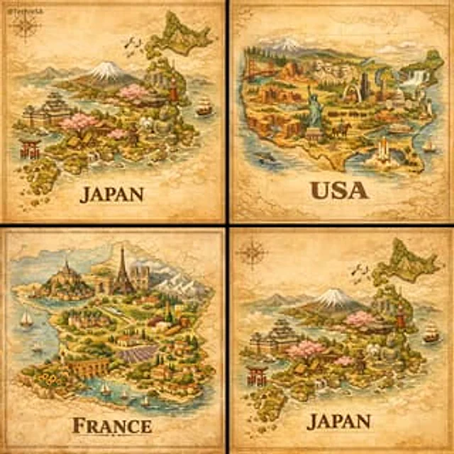
TechieSA #832

TechieSA #832

Oryginalny dokument

Nano Banana · en

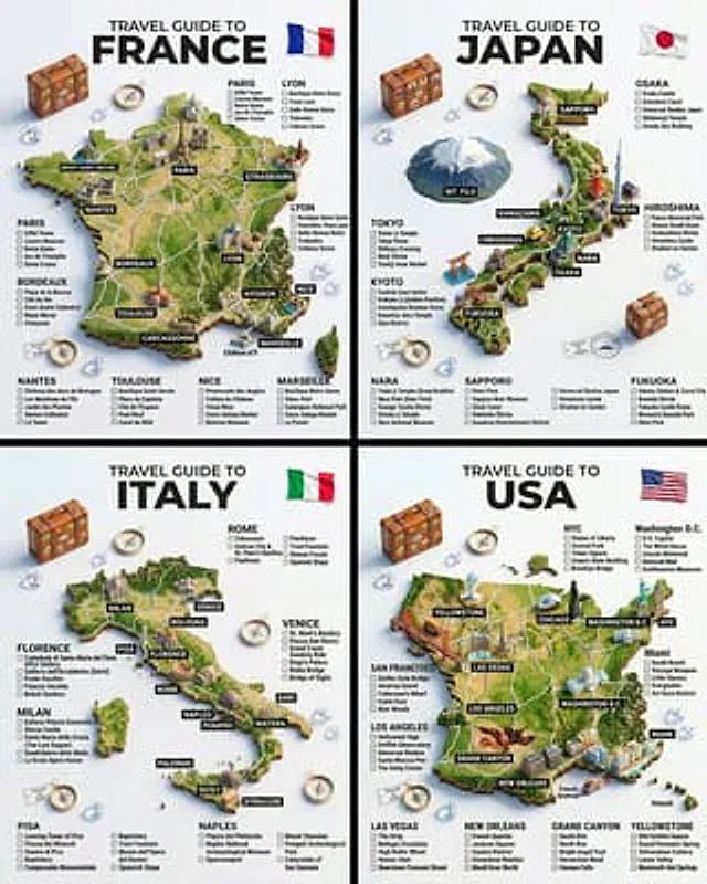
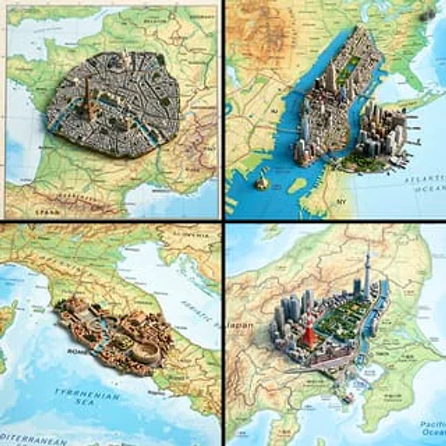
Ultra-realistic top-down geographic map with precise cartographic accuracy, clearly defining the true geographic context of [COUNTRY].

From the exact real-world coordinates of [CITY], a highly detailed miniature 3D diorama rises organically from the map surface, perfectly aligned with its true location.

The diorama features iconic architecture, signature natural landmarks, and authentic cultural elements of the city, seamlessly integrated into the map as if sculpted from it.

Physically accurate materials, realistic surface textures, and true-to-scale proportions.

Shallow depth of field with macro-lens realism, subtle atmospheric perspective.

Soft neutral studio lighting with controlled shadows to enhance depth and realism.

Cinematic composition, premium architectural-model photography style.

Ultra-sharp detail, high dynamic range, photorealistic finish.
Square 1:1 format, realistic scale, museum-quality visual output.

Jak używać

  1. Skopiuj cały oryginalny prompt wraz z parametrami.
  2. Dostosuj temat, tekst i kompozycję do swoich potrzeb.
  3. Użyj zgodnego narzędzia zewnętrznego; sprawdź warunki dostępu i wynik.

Przed rozpoczęciem

  • Sprawdź, czy potrzebny jest obraz referencyjny. Zgodność nie potwierdza modelu użytego do przykładu.
  • Sprawdź nazwy, liczby i napisy; wyniki zależą od wersji modelu.
Podobne przykłady

TechieSA #1115
Nano Bananaen

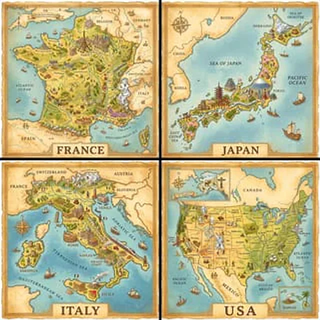
A hand-painted isometric bird’s-eye view illustration of [COUNTRY] in a vintage map style, featuring iconic landmarks and natural scenery unique to the country. The landscape should blend seamlessly with a parchment-colored map background, and include detailed miniature architect

TechieSA #1169
Nano Bananaen

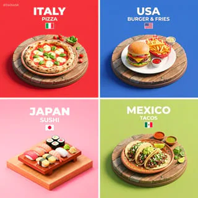
Present a clear, 45° top-down isometric miniature 3D cartoon scene of [COUNTRY]’s signature dish: [FOOD], with soft refined textures, realistic PBR materials, and gentle lifelike lighting. Create a small raised diorama-style base showcasing the dish in a highly recognizable prese

TechieSA #302
Nano Bananaen

A hyper-realistic 3D travel guide infographic poster for [COUNTRY]. The country shape is rendered as a raised, textured terrain map floating on a clean light gray surface. Iconic landmarks are placed as miniature 3D sculpted models at their correct geographic locations across the

TechieSA #1118
Nano Bananaen

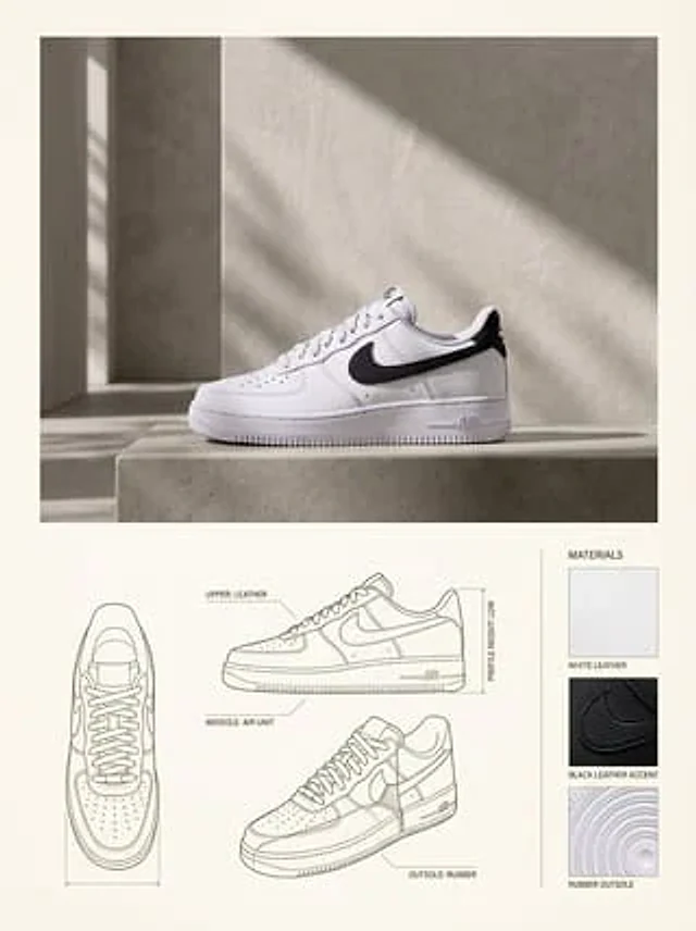
{ "reference_images": { "product_image": "UPLOADED_IMAGE", "usage_rule": "Use the uploaded image as the exact visual reference for the product’s form, proportions, materials, and overall identity. Do not redesign or reinterpret the product." }, "layout": { "canvas": { "or

TechieSA #111
GPT Image 2en

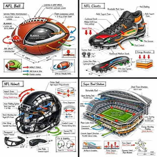
Create a technical infographic of [OBJECT] with a 45-degree isometric 3D perspective, slightly tilted to reveal depth, structure, and internal construction. Combine a realistic photoreal render with black ink technical annotations on a pure white background. Include: • Key compo

TechieSA #122
GPT Image 2en

A hand-painted isometric bird’s-eye view illustration of [COUNTRY] in a vintage map style, featuring iconic landmarks and natural scenery unique to the country. The landscape should blend seamlessly with a parchment-colored map background, and include detailed miniature architect