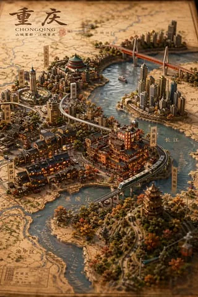
原始文档
GPT Image 2 · en
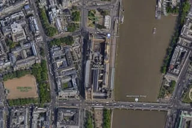
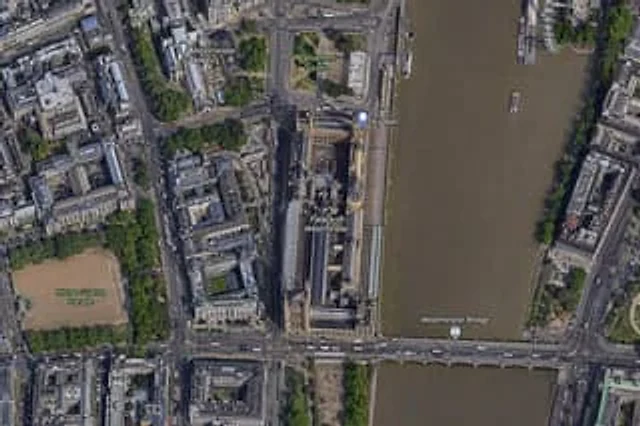
A{argument name="city" default="London"} High-resolution overhead satellite map with the city center as its core, closely focused on{argument name="landmark" default="Big Ben"} And the area surrounding Westminster Palace on the banks of the Thames. Presented as a realistic aerial orthophoto, reminiscent of a modern digital map or satellite image, it includes detailed rooftops, streets, trees, shadows, and the brownish-brown river water. The long, narrow Westminster Palace complex is placed vertically on the right side of the image, adjacent to the west bank of the river, with Big Ben located in the northeast corner of the palace near the riverbank. A building labeled {argument name="bridge name" default="Westminster Bridge"} The bridge spans the river from left to right at the bottom of the image. A total of 6 visible map tags are included.{argument name="label 1" default="Westminster Abbey"} ,{argument name="label 2" default="Parliament Square"} Big Ben, Palace of Westminster, Westminster Bridge, and the Horse Guards Parade are all included. Whitehall is also marked as a road, vertically displayed on the left side of the palace area. Surrounding details should include Westminster Abbey in the upper left quadrant, Parliament Square above the palace, the Horse Guards Parade in the lower left quadrant as a large, sand-colored rectangle, the dense city blocks and roads in the left half, the Thames River occupying the entire right side, the embankments on both banks, a few boats on the river, and tree-lined streets and parks. Natural satellite imagery colors and clear map annotations are used to create an enlarged online map screenshot effect.使用方法
- 复制完整原始提示词,并保留其中的参数。
- 按需求替换主体、文字和构图要求。
- 在兼容的外部工具中使用,核对当前使用条件并检查结果。
开始前需了解
- 先确认是否需要参考图。标注兼容模型,不代表该示例由这个模型生成。
- 核对名称、数字与画面文字;不同模型版本的结果可能不同。