Satellite Map of Big Ben Area

Satellite Map of Big Ben Area

원본 문서

GPT Image 2 · en

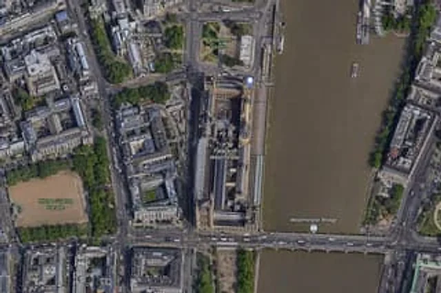
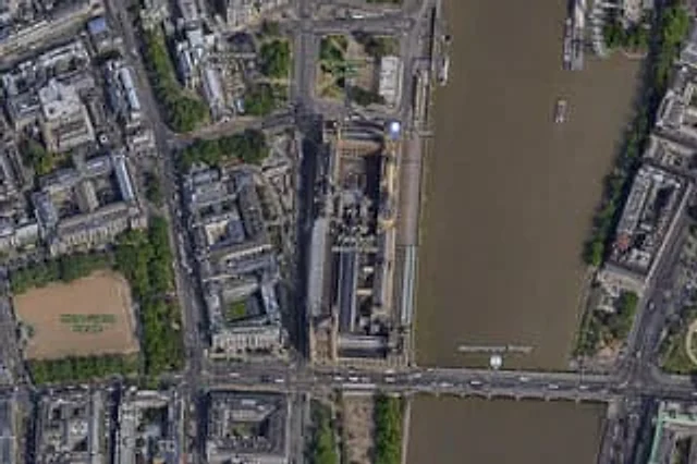
A{argument name="city" default="London"} High-resolution overhead satellite map with the city center as its core, closely focused on{argument name="landmark" default="Big Ben"} And the area surrounding Westminster Palace on the banks of the Thames. Presented as a realistic aerial orthophoto, reminiscent of a modern digital map or satellite image, it includes detailed rooftops, streets, trees, shadows, and the brownish-brown river water. The long, narrow Westminster Palace complex is placed vertically on the right side of the image, adjacent to the west bank of the river, with Big Ben located in the northeast corner of the palace near the riverbank. A building labeled {argument name="bridge name" default="Westminster Bridge"} The bridge spans the river from left to right at the bottom of the image. A total of 6 visible map tags are included.{argument name="label 1" default="Westminster Abbey"} ,{argument name="label 2" default="Parliament Square"} Big Ben, Palace of Westminster, Westminster Bridge, and the Horse Guards Parade are all included. Whitehall is also marked as a road, vertically displayed on the left side of the palace area. Surrounding details should include Westminster Abbey in the upper left quadrant, Parliament Square above the palace, the Horse Guards Parade in the lower left quadrant as a large, sand-colored rectangle, the dense city blocks and roads in the left half, the Thames River occupying the entire right side, the embankments on both banks, a few boats on the river, and tree-lined streets and parks. Natural satellite imagery colors and clear map annotations are used to create an enlarged online map screenshot effect.

사용 방법

  1. 매개변수를 포함한 전체 원본 프롬프트를 복사하세요.
  2. 주제, 문구, 구도를 자신의 요구에 맞게 바꾸세요.
  3. 호환되는 외부 도구에서 사용하고 이용 조건과 결과를 확인하세요.

시작 전 확인

  • 참조 이미지가 필요한지 확인하세요. 호환 표시는 해당 모델로 이 예시를 생성했다는 뜻이 아닙니다.
  • 이름, 수치, 이미지 속 문구를 확인하세요. 모델 버전에 따라 결과가 다를 수 있습니다.
비슷한 예시

Satellite Map of Big Ben Area
GPT Image 2en

A high-resolution top-down satellite map view of central {argument name="city" default="London"}, focused tightly on the area around {argument name="landmark" default="Big Ben"} and the Palace of Westminster beside the River Thames. Show a realistic aerial orthographic perspectiv

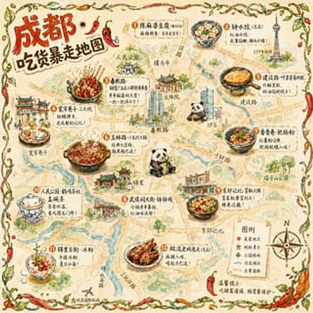
Hand-drawn Chengdu Food Map
GPT Image 2en

A{argument name="city" default="Chengdu"} A hand-drawn city food map themed around [the theme]. The image is a simplified hand-drawn city map based on a bird's-eye view, with major roads and landmarks marked in a cute, asymmetrical hand-drawn style. Twelve exquisite small hand-dr

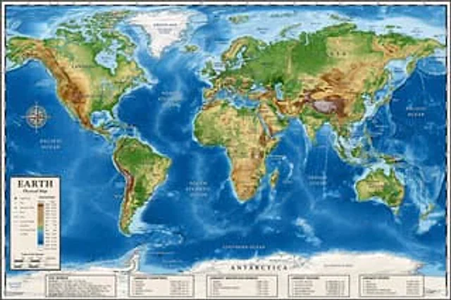
Detailed Physical World Map with Info Panels
GPT Image 2en

{ "type": "Highly detailed cartographic world map", "style": "{argument name=\"color palette\" default=\"Realistic terrain and depth sounding colors\"}", "map_features": { "terrain": "The shading relief, in green, brown and white, shows mountains, valleys and plains.",

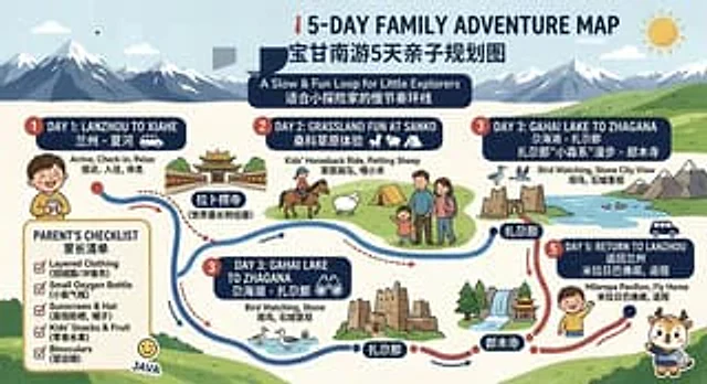
Bilingual 5-Day Family Travel Map
GPT Image 2en

{ "type": "Bilingual illustrated tourist information route map", "style": "Flat, brightly colored family poster illustrations, using simple vector shapes, soft textured shadows, and a playful travel brochure aesthetic, with a wide horizontal layout.", "theme": "5-Day Family

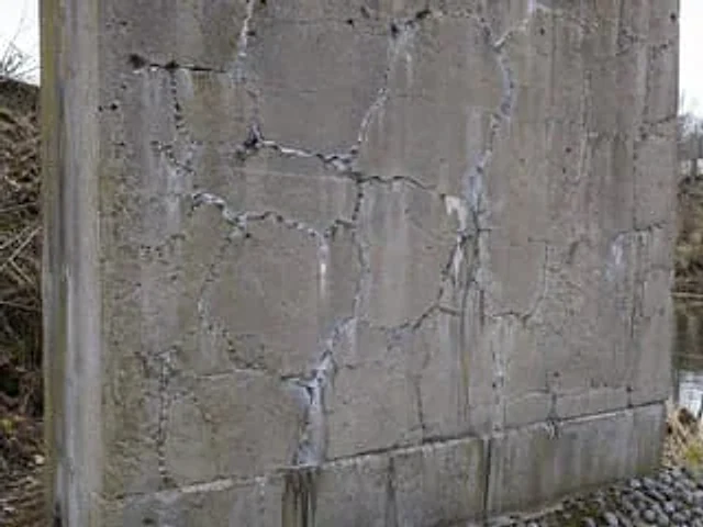
Concrete Wall with ASR Map Cracking
GPT Image 2en

A highly realistic, documentary-style close-up photograph showcases an outdoor, weathered reinforced concrete bridge pier or retaining wall, exhibiting severe alkali-aggregate reaction damage. The wall occupies most of the frame and is shot at a slightly tilted angle, making the

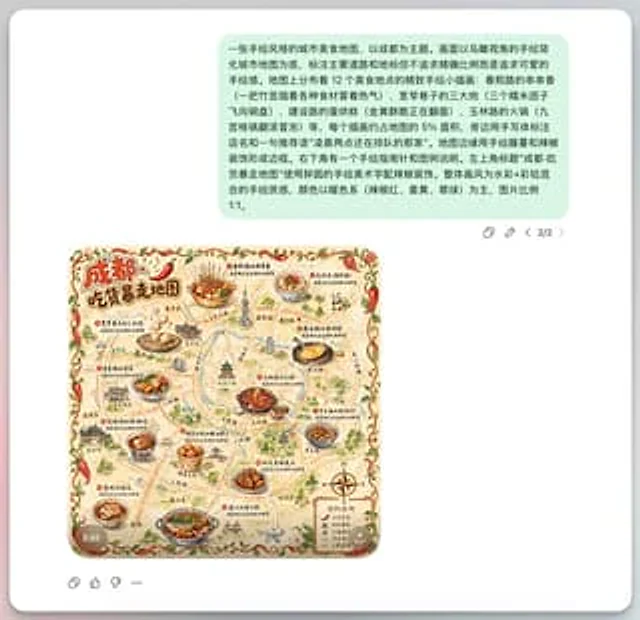
Chengdu Hand-Drawn Food Map UI
GPT Image 2en

This is a screenshot-style AI-generated chat interface composition. The background is a light gray application interface, with a rounded white panel with a soft shadow in the center. Near the top is a large, light mint green chat bubble containing a black sans-serif Chinese strin