Illustrated Travel Maps with Cultural Callouts

Illustrated Travel Maps with Cultural Callouts

Original document

Nano Banana · en

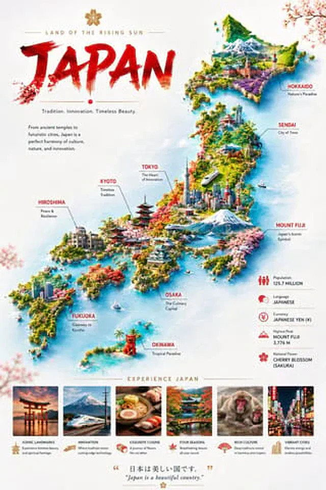
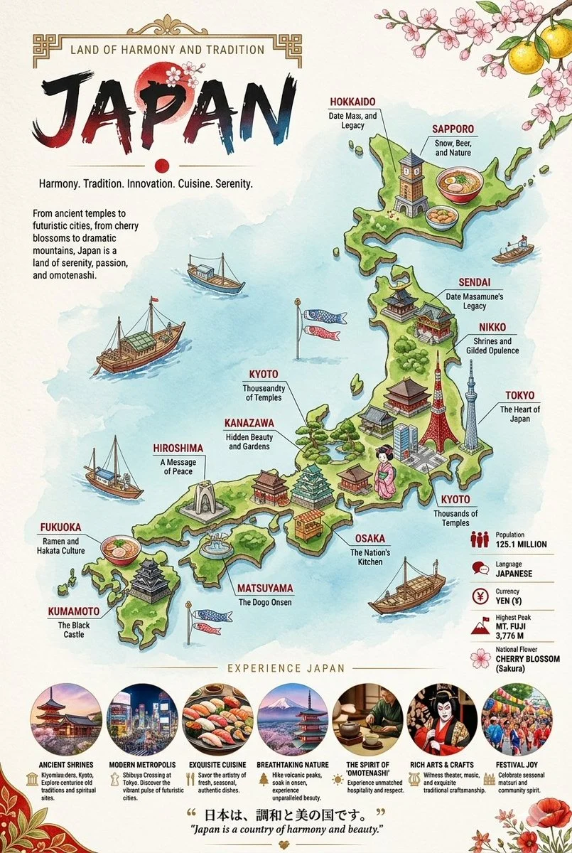
Two vertical, highly detailed, illustrated travel infographic maps showcasing Japan and Russia. Each poster features a stylized, colorful 3D-rendered country map surrounded by deep blue seas, populated with miniature cultural landmarks, regional food items, and local wildlife connected to specific city labels. The top of each poster displays a bold, artistic title banner with the country's name, localized slogans, and cultural border motifs like cherry blossoms or traditional patterns. The bottom sections include key demographic statistics alongside a row of circular vignette photos highlighting local architecture, cuisine, and scenery, all tied together by a descriptive quote translated into both the native language and English.

How to use

  1. Copy the complete original prompt, including any parameters.
  2. Replace the subject, text and composition with your own requirements.
  3. Use a compatible external tool; check its current access conditions and review the result.

Before you start

  • Check whether a reference image is required. A compatible model label does not mean this example was generated with that model.
  • Keep names, figures and visible text accurate; results can vary between model versions.
More like this

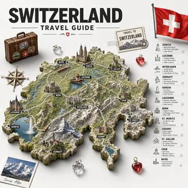
Swiss Travel Guide Relief Map Poster
GPT Image 2en

Create a detailed, retro-style illustrated travel poster and infographic with the theme of{argument name="country name" default="Switzerland"} A sculptural 3D topographic map is displayed at the center against a light gray background. A striking black sans-serif bold title is pla

Japan Illustrated Travel Poster
GPT Image 2en

Goal: Create a premium illustrated travel poster infographic for {argument name="country name" default="Japan"}, blending tourism advertising, map art, and editorial layout. Canvas: Vertical poster, 2:3 aspect ratio, bright white paper background with soft watercolor texture, ai

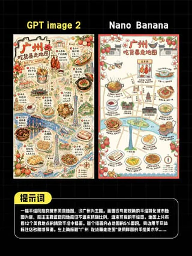
AI Guangzhou Food Map Comparison
GPT Image 2en

This is a comparison image with a black background and a light gray grid, designed in a style similar to a social media quiz result poster. At the top are two large, bold sans-serif headlines side-by-side: "GPT image 2" above the left image and "Nano Banana" above the right. Belo

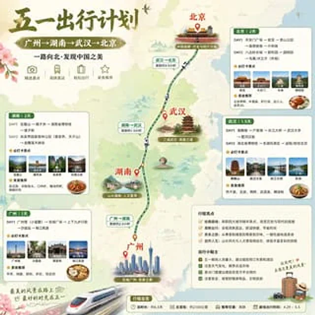
China May Day Rail Travel Infographic
GPT Image 2en

Create an exquisite Little Red Book-style infographic poster of a Chinese travel destination, employing soft watercolor map aesthetics and a square format to showcase a five-day high-speed rail travel route through China. The top left corner features a striking calligraphy title:

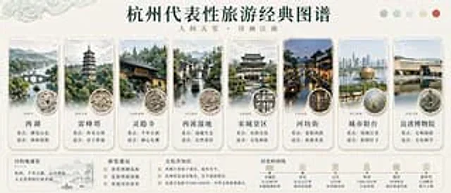
Hangzhou Travel Infographic Poster
GPT Image 2en

{ "type": "Chinese-style tourism infographic poster", "topic": "A classic map of representative tourist attractions in Hangzhou", "style": "The elegant Chinese-style infographics employ a delicate ink-wash aesthetic, featuring an ivory-white paper background and a refined e

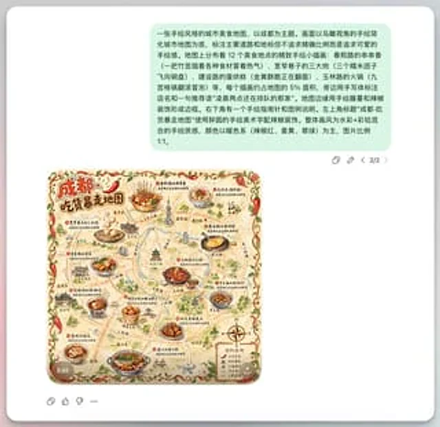
Chengdu Hand-Drawn Food Map UI
GPT Image 2en

This is a screenshot-style AI-generated chat interface composition. The background is a light gray application interface, with a rounded white panel with a soft shadow in the center. Near the top is a large, light mint green chat bubble containing a black sans-serif Chinese strin