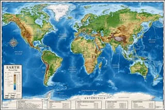
Detailed Physical World Map with Info Panels

Detailed Physical World Map with Info Panels

Documento originale

GPT Image 2 · en

{
  "type": "Highly detailed cartographic world map",
  "style": "{argument name=\"color palette\" default=\"Realistic terrain and depth sounding colors\"}",
  "map_features": {
    "terrain": "The shading relief, in green, brown and white, shows mountains, valleys and plains.",
    "oceans": "Different shades of blue create varying depths of shadow; light blue represents the continental shelf, while dark blue represents the deep-sea trench.",
    "grid": "Latitude and longitude lines covering the entire map",
    "labels": "Major continents, countries, oceans, and sea areas are clearly marked in serif and sans-serif fonts."
  },
  "layout": {
    "overlays": [
      {
        "type": "Compass Rose",
        "position": "Left side of the middle, located above the Pacific Ocean",
        "description": "Classic 8-direction nautical compass"
      },
      {
        "type": "legend",
        "position": "bottom left corner",
        "title": "{argument name=\"map title\" default=\"Earth\"}",
        "subtitle": "{argument name=\"map type\" default=\"Physical map\"}",
        "contents": "Altitude color key, map symbols and distance scale"
      }
    ],
    "bottom_panels": {
      "count": 5,
      "position": "horizontal row along the bottom",
      "labels": [
        "World Overview",
        "Largest country",
        "Longest mountain",
        "Largest Ocean",
        "Longest River"
      ]
    }
  }
}

Come usare

  1. Copia tutto il prompt originale, inclusi i parametri.
  2. Adatta soggetto, testo e composizione alle tue esigenze.
  3. Usa uno strumento esterno compatibile; verifica accesso e risultato.

Prima di iniziare

  • Controlla se serve un’immagine di riferimento. La compatibilità non prova il modello usato per l’esempio.
  • Verifica nomi, numeri e testi; i risultati cambiano con le versioni del modello.
Esempi simili

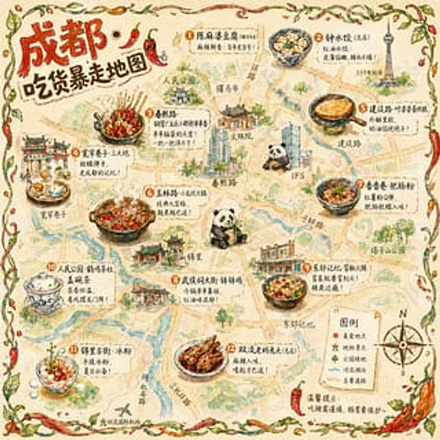
Hand-drawn Chengdu Food Map
GPT Image 2en

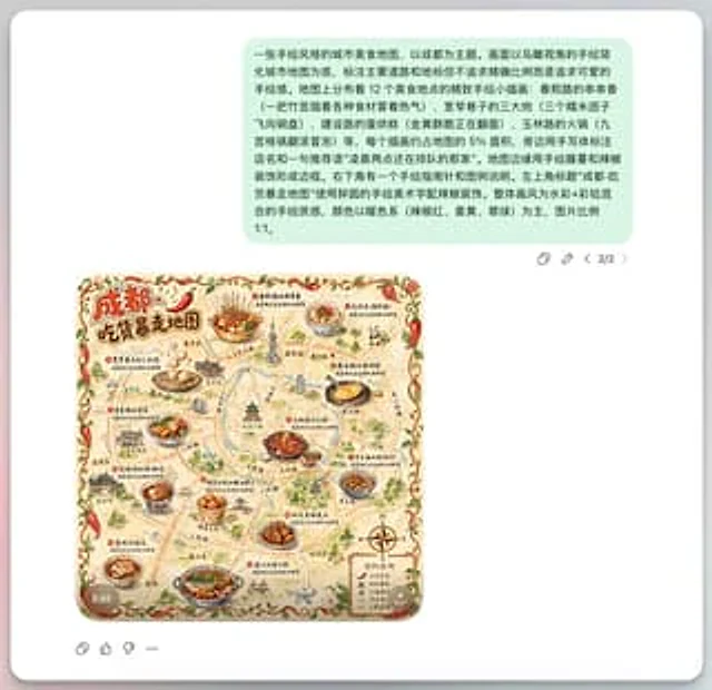
A{argument name="city" default="Chengdu"} A hand-drawn city food map themed around [the theme]. The image is a simplified hand-drawn city map based on a bird's-eye view, with major roads and landmarks marked in a cute, asymmetrical hand-drawn style. Twelve exquisite small hand-dr

Illustrated Travel Maps with Cultural Callouts
Nano Bananaen

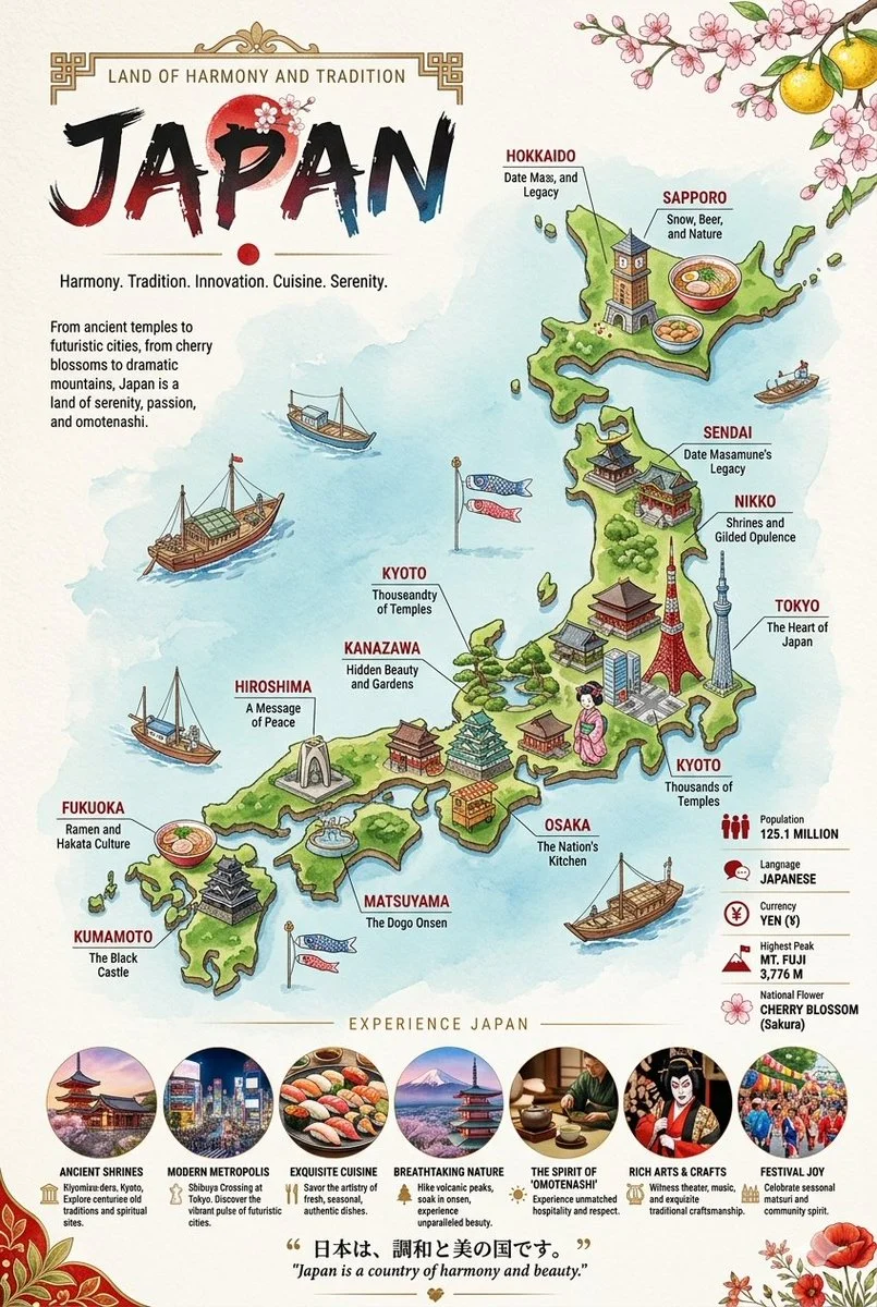
Two vertical, highly detailed, illustrated travel infographic maps showcasing Japan and Russia. Each poster features a stylized, colorful 3D-rendered country map surrounded by deep blue seas, populated with miniature cultural landmarks, regional food items, and local wildlife con

AI Guangzhou Food Map Comparison
GPT Image 2en

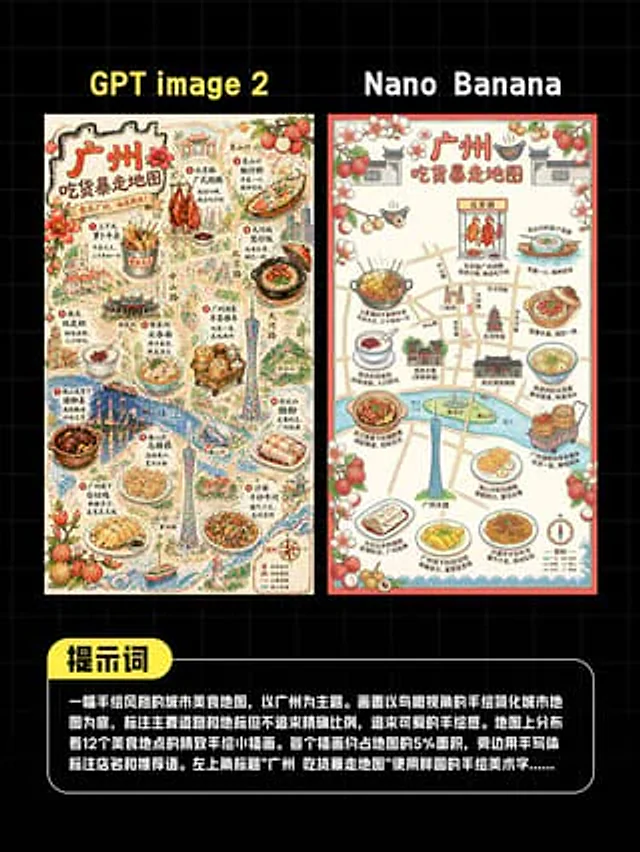
This is a comparison image with a black background and a light gray grid, designed in a style similar to a social media quiz result poster. At the top are two large, bold sans-serif headlines side-by-side: "GPT image 2" above the left image and "Nano Banana" above the right. Belo

Bilingual 5-Day Family Travel Map
GPT Image 2en

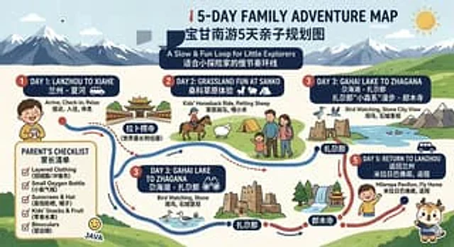
{ "type": "Bilingual illustrated tourist information route map", "style": "Flat, brightly colored family poster illustrations, using simple vector shapes, soft textured shadows, and a playful travel brochure aesthetic, with a wide horizontal layout.", "theme": "5-Day Family

Thematic Subway Map — Philosophy Lineage
GPT Image 2en

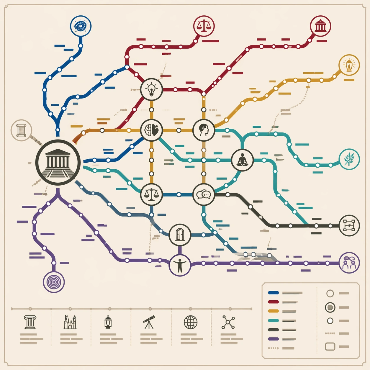
Scene: A square educational wall poster styled as a modern subway system map, printed on matte pale cream stock. The design is front-facing, crisp, and technical, with generous margins and a balanced legend panel in the lower right. Use calm academic colors: deep blue, burgundy,

Chengdu Hand-Drawn Food Map UI
GPT Image 2en

This is a screenshot-style AI-generated chat interface composition. The background is a light gray application interface, with a rounded white panel with a soft shadow in the center. Near the top is a large, light mint green chat bubble containing a black sans-serif Chinese strin