原文
GPT Image 2 · en
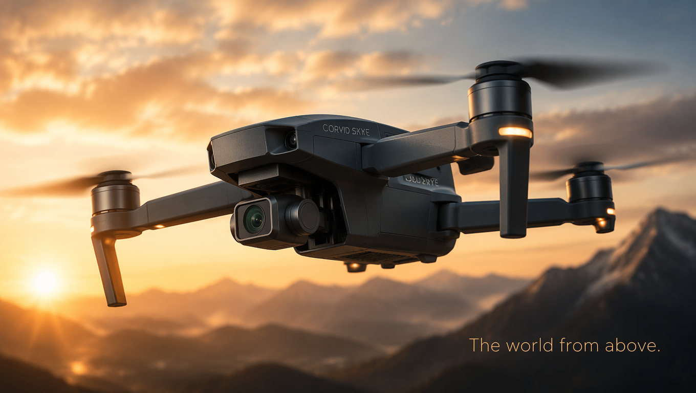
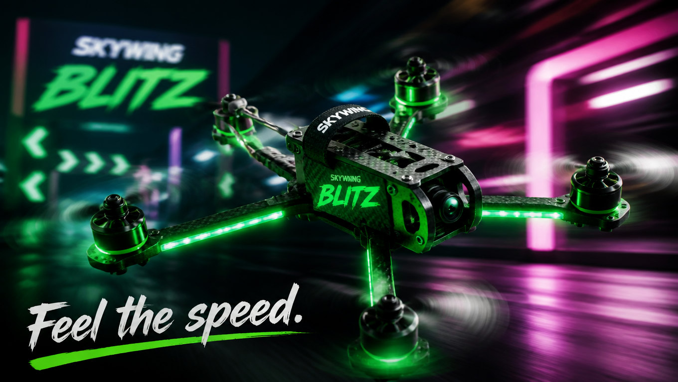
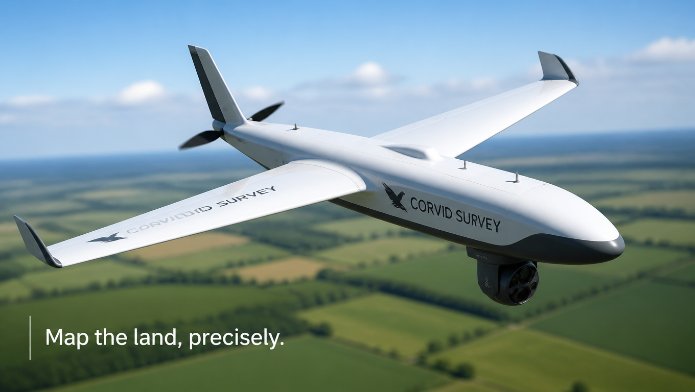
Technical product shot of a fixed-wing mapping drone named 'Corvid Survey' in white and grey with a downward-facing sensor pod, hovering above a blurred patchwork of green farmland with a clear sky. Bright even daylight, crisp aerodynamic detail, professional aerial-survey vibe, clean fresh palette. Precise drone-ad mood, three-quarter elevated angle, shallow depth of field, 16:9 wide. Tagline lower left: 'Map the land, precisely.'使い方
- パラメータを含む元のプロンプト全体をコピーします。
- 被写体、文字、構図を自分の要件に置き換えます。
- 対応する外部ツールで使用し、利用条件と結果を確認します。
開始前の確認
- 参考画像の要否を確認してください。互換モデルの表示は、そのモデルでの生成実績を意味しません。
- 名前、数値、画像内の文字を確認します。モデルの版で結果は変わります。