Original document
GPT Image 2 · en
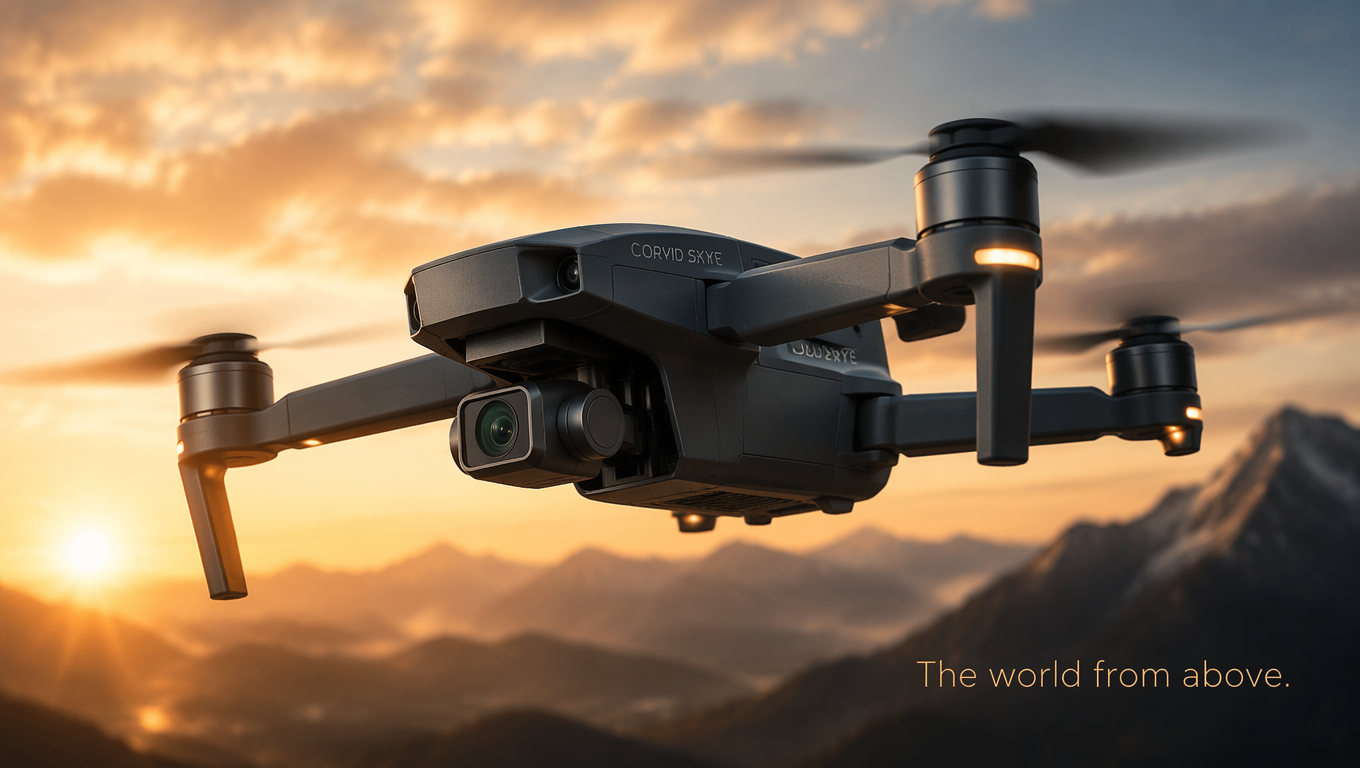
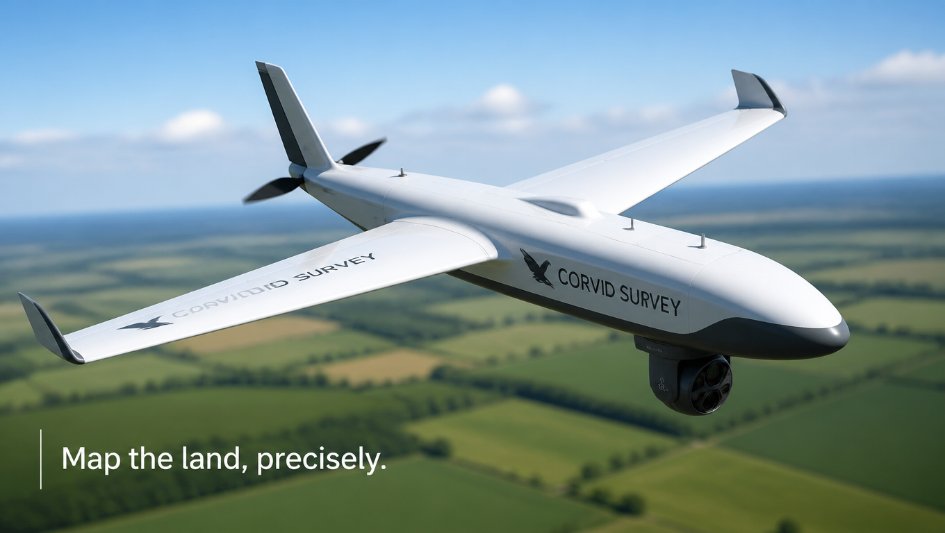
Technical product shot of a fixed-wing mapping drone named 'Corvid Survey' in white and grey with a downward-facing sensor pod, hovering above a blurred patchwork of green farmland with a clear sky. Bright even daylight, crisp aerodynamic detail, professional aerial-survey vibe, clean fresh palette. Precise drone-ad mood, three-quarter elevated angle, shallow depth of field, 16:9 wide. Tagline lower left: 'Map the land, precisely.'How to use
- Copy the complete original prompt, including any parameters.
- Replace the subject, text and composition with your own requirements.
- Use a compatible external tool; check its current access conditions and review the result.
Before you start
- Check whether a reference image is required. A compatible model label does not mean this example was generated with that model.
- Keep names, figures and visible text accurate; results can vary between model versions.