原始文档
GPT Image 2 · en
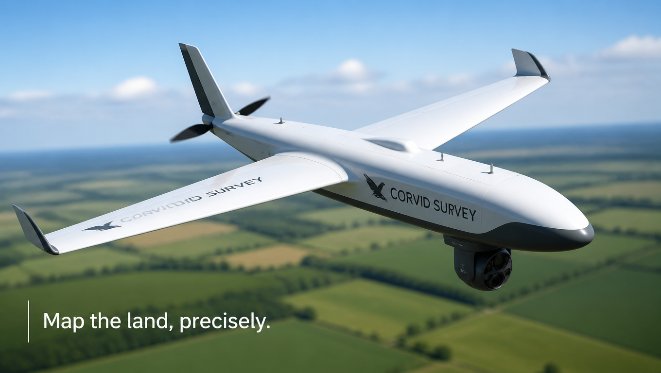
Technical product shot of a fixed-wing mapping drone named 'Corvid Survey' in white and grey with a downward-facing sensor pod, hovering above a blurred patchwork of green farmland with a clear sky. Bright even daylight, crisp aerodynamic detail, professional aerial-survey vibe, clean fresh palette. Precise drone-ad mood, three-quarter elevated angle, shallow depth of field, 16:9 wide. Tagline lower left: 'Map the land, precisely.'使用方法
- 复制完整原始提示词,并保留其中的参数。
- 按需求替换主体、文字和构图要求。
- 在兼容的外部工具中使用,核对当前使用条件并检查结果。
开始前需了解
- 先确认是否需要参考图。标注兼容模型,不代表该示例由这个模型生成。
- 核对名称、数字与画面文字;不同模型版本的结果可能不同。