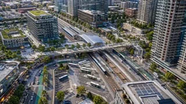
Aerial View of Modern Transit Hub

Aerial View of Modern Transit Hub

原文

GPT Image 2 · en

A drone aerial photograph, taken from above, showcases a modern transportation hub in a densely populated mixed-use urban area, rendered with realistic architectural detail in the clear evening sunlight. At the center of the scene is a large multi-track train station diagonally across the frame, showing six tracks, two long-distance passenger trains stopped at the platforms, and the station hall with a glass roof above. A wide pedestrian bridge spans the tracks from left to right, connecting the plazas on either side. Below, a bus hub is visible, with seven buses parked or moving through winding lanes and marked parking spaces. The station is surrounded by tall modern residential buildings, mid- to high-rise office buildings, retail stores, tree-lined streets, bike paths, sidewalks, parked vehicles, and scattered pedestrians. To the left is a striking glass office building with a green roof and a clearly visible corporate logo.{argument name="building sign text" default="innovation"} Add multiple green roofs and rooftop solar panels, especially on the building in the lower right corner. The composition should present a clean, realistic North American transit-oriented development style, using a slanted, bird's-eye view, with extremely high detail, natural colors, sharp focus, and professional urban planning photography standards, without any artistic manipulation.

使い方

  1. パラメータを含む元のプロンプト全体をコピーします。
  2. 被写体、文字、構図を自分の要件に置き換えます。
  3. 対応する外部ツールで使用し、利用条件と結果を確認します。

開始前の確認

  • 参考画像の要否を確認してください。互換モデルの表示は、そのモデルでの生成実績を意味しません。
  • 名前、数値、画像内の文字を確認します。モデルの版で結果は変わります。
似た事例

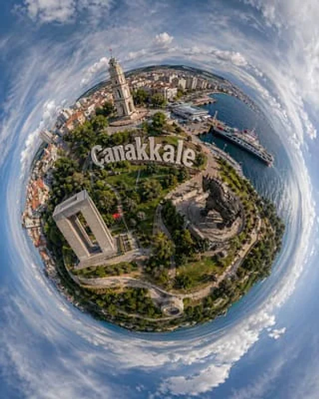
Tiny Planet Aerial of Canakkale
GPT Image 2en

A visually striking ultra-wide-angle aerial photograph of a "small planet," taken in Turkey.{argument name="city name" default="Çanakkale"} The image uses a 360-degree panoramic stereoscopic projection, merging the city and seaside into a compact spherical world surrounded by blu

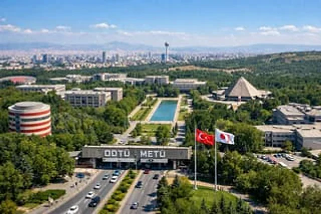
University Campus Aerial View
GPT Image 2en

A drone aerial photograph of a vast, lush university campus under a clear sky. In the foreground, vehicles travel along a wide, multi-lane highway, passing a massive concrete entrance gate with prominent white lettering that reads "..."{argument name="university name" default="OD

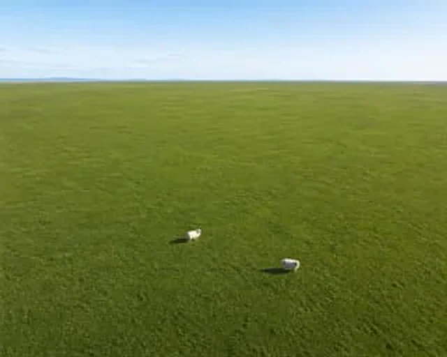
Aerial View of Vast Grassy Plain with Two Sheep
GPT Image 2en

A drone aerial photograph reveals a vast and flat area.{argument name="terrain color" default="Fresh green"} The grassland stretches endlessly towards the distant horizon. In the foreground below, there are exactly two {argument name="animal" default="fluffy white sheep"} They ar

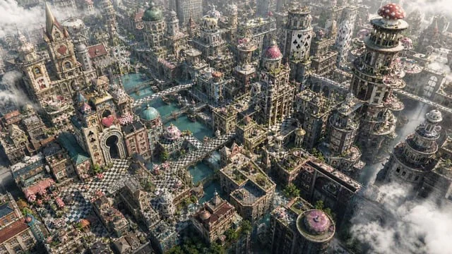
Fantasy Whimsical Downtown Aerial View
GPT Image 2en

Create a high-detail 16:9 aerial terrain image of an {argument name="inspiration" default="Alice in Wonderland"}-inspired fantasy downtown. The city should feel whimsical, cinematic, and architectural: card-suit towers, checkerboard plazas, keyhole

Comic / Storyboard - Aerial Surreal Clone Photography
Nano Banana Proen

Transform the uploaded person into a premium ultra-realistic surreal clone-photography scene. Create an aerial high-angle view of the same person standing completely still in the center of a large empty street or pathway while multiple identical copies walk around them in differe

Aerial Photography — bthnbdk · CC BY 4.0
Nano Bananaen

a lone figure standing in an open landscape, Aerial Photography (1920s-, global): top-down abstraction; patchwork fields; river deltas; highways; parking grids; human scale vanished. Palette: earth green, sediment brown, water steel blue. Mood: new scale, pattern revelation, the