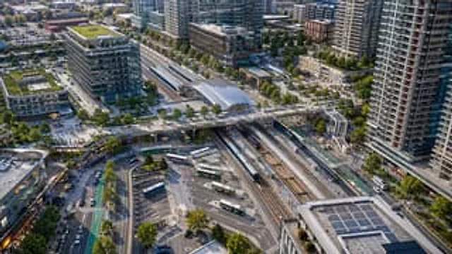
Aerial View of Modern Transit Hub

Aerial View of Modern Transit Hub

원본 문서

GPT Image 2 · en

A drone aerial photograph, taken from above, showcases a modern transportation hub in a densely populated mixed-use urban area, rendered with realistic architectural detail in the clear evening sunlight. At the center of the scene is a large multi-track train station diagonally across the frame, showing six tracks, two long-distance passenger trains stopped at the platforms, and the station hall with a glass roof above. A wide pedestrian bridge spans the tracks from left to right, connecting the plazas on either side. Below, a bus hub is visible, with seven buses parked or moving through winding lanes and marked parking spaces. The station is surrounded by tall modern residential buildings, mid- to high-rise office buildings, retail stores, tree-lined streets, bike paths, sidewalks, parked vehicles, and scattered pedestrians. To the left is a striking glass office building with a green roof and a clearly visible corporate logo.{argument name="building sign text" default="innovation"} Add multiple green roofs and rooftop solar panels, especially on the building in the lower right corner. The composition should present a clean, realistic North American transit-oriented development style, using a slanted, bird's-eye view, with extremely high detail, natural colors, sharp focus, and professional urban planning photography standards, without any artistic manipulation.

사용 방법

  1. 매개변수를 포함한 전체 원본 프롬프트를 복사하세요.
  2. 주제, 문구, 구도를 자신의 요구에 맞게 바꾸세요.
  3. 호환되는 외부 도구에서 사용하고 이용 조건과 결과를 확인하세요.

시작 전 확인

  • 참조 이미지가 필요한지 확인하세요. 호환 표시는 해당 모델로 이 예시를 생성했다는 뜻이 아닙니다.
  • 이름, 수치, 이미지 속 문구를 확인하세요. 모델 버전에 따라 결과가 다를 수 있습니다.
비슷한 예시

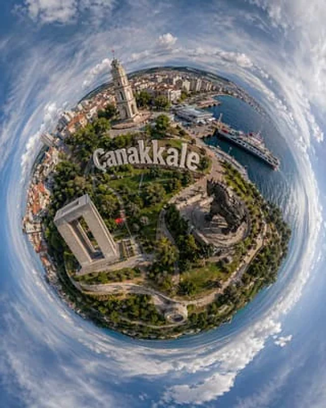
Tiny Planet Aerial of Canakkale
GPT Image 2en

A visually striking ultra-wide-angle aerial photograph of a "small planet," taken in Turkey.{argument name="city name" default="Çanakkale"} The image uses a 360-degree panoramic stereoscopic projection, merging the city and seaside into a compact spherical world surrounded by blu

University Campus Aerial View
GPT Image 2en

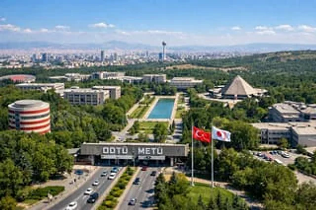
A drone aerial photograph of a vast, lush university campus under a clear sky. In the foreground, vehicles travel along a wide, multi-lane highway, passing a massive concrete entrance gate with prominent white lettering that reads "..."{argument name="university name" default="OD

Aerial View of Vast Grassy Plain with Two Sheep
GPT Image 2en

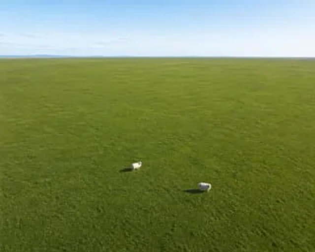
A drone aerial photograph reveals a vast and flat area.{argument name="terrain color" default="Fresh green"} The grassland stretches endlessly towards the distant horizon. In the foreground below, there are exactly two {argument name="animal" default="fluffy white sheep"} They ar

Fantasy Whimsical Downtown Aerial View
GPT Image 2en

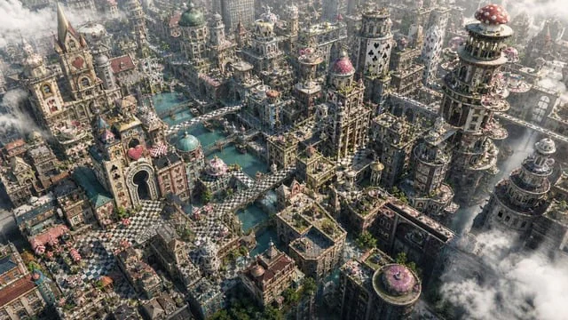
Create a high-detail 16:9 aerial terrain image of an {argument name="inspiration" default="Alice in Wonderland"}-inspired fantasy downtown. The city should feel whimsical, cinematic, and architectural: card-suit towers, checkerboard plazas, keyhole

Comic / Storyboard - Aerial Surreal Clone Photography
Nano Banana Proen

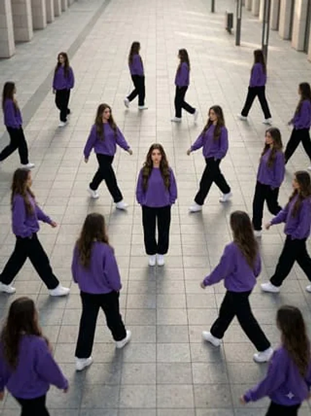
Transform the uploaded person into a premium ultra-realistic surreal clone-photography scene. Create an aerial high-angle view of the same person standing completely still in the center of a large empty street or pathway while multiple identical copies walk around them in differe

Aerial Photography — bthnbdk · CC BY 4.0
Nano Bananaen

a lone figure standing in an open landscape, Aerial Photography (1920s-, global): top-down abstraction; patchwork fields; river deltas; highways; parking grids; human scale vanished. Palette: earth green, sediment brown, water steel blue. Mood: new scale, pattern revelation, the