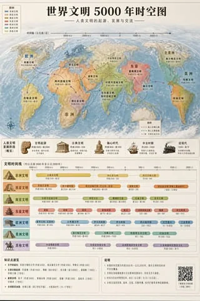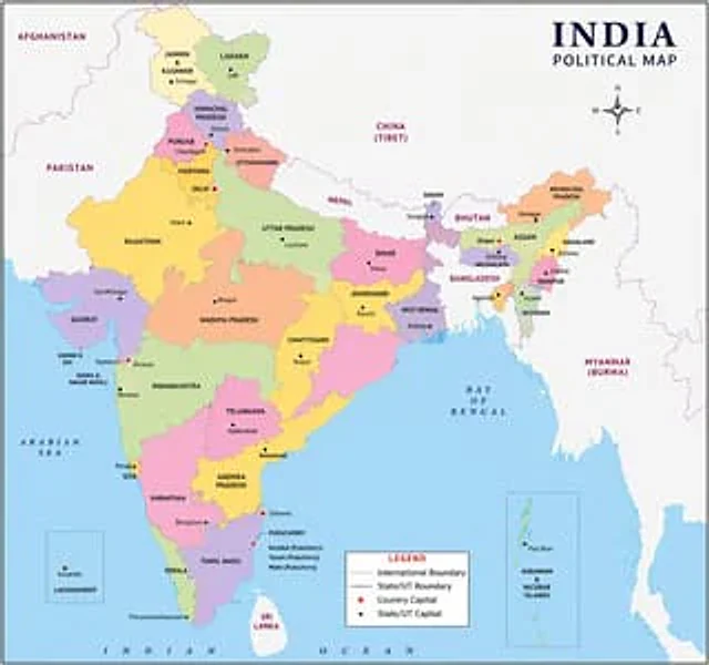
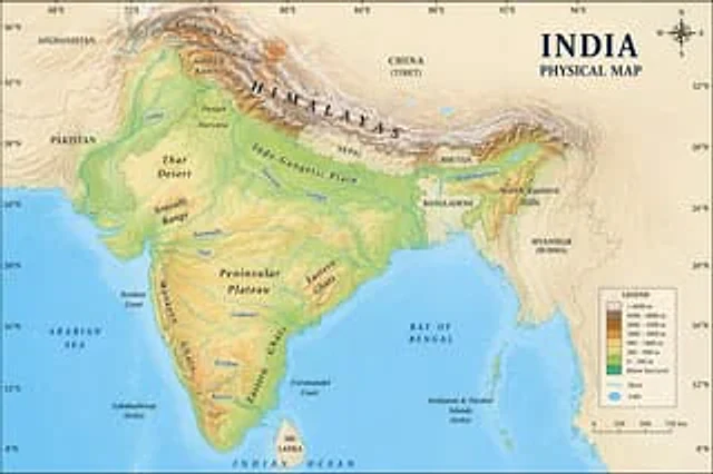
Political Map Visualization

Political Map Visualization

원본 문서

GPT Image 2 · en

One{argument name="region" default="indian"} Images of political maps

사용 방법

  1. 매개변수를 포함한 전체 원본 프롬프트를 복사하세요.
  2. 주제, 문구, 구도를 자신의 요구에 맞게 바꾸세요.
  3. 호환되는 외부 도구에서 사용하고 이용 조건과 결과를 확인하세요.

시작 전 확인

  • 참조 이미지가 필요한지 확인하세요. 호환 표시는 해당 모델로 이 예시를 생성했다는 뜻이 아닙니다.
  • 이름, 수치, 이미지 속 문구를 확인하세요. 모델 버전에 따라 결과가 다를 수 있습니다.
비슷한 예시

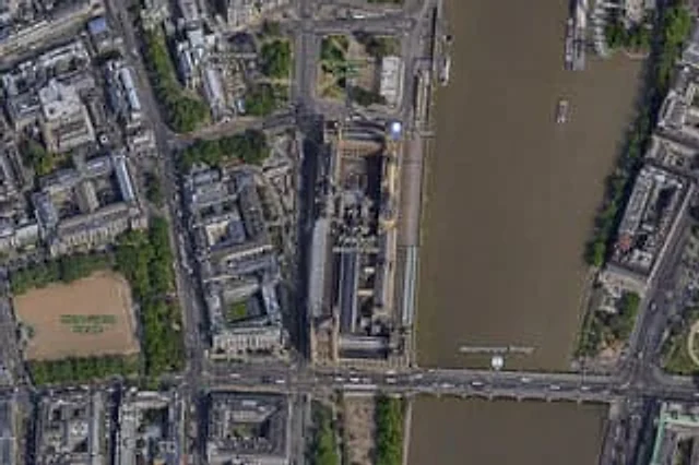
Satellite Map of Big Ben Area
GPT Image 2en

A high-resolution top-down satellite map view of central {argument name="city" default="London"}, focused tightly on the area around {argument name="landmark" default="Big Ben"} and the Palace of Westminster beside the River Thames. Show a realistic aerial orthographic perspectiv