
原始文档
GPT Image 2 · en
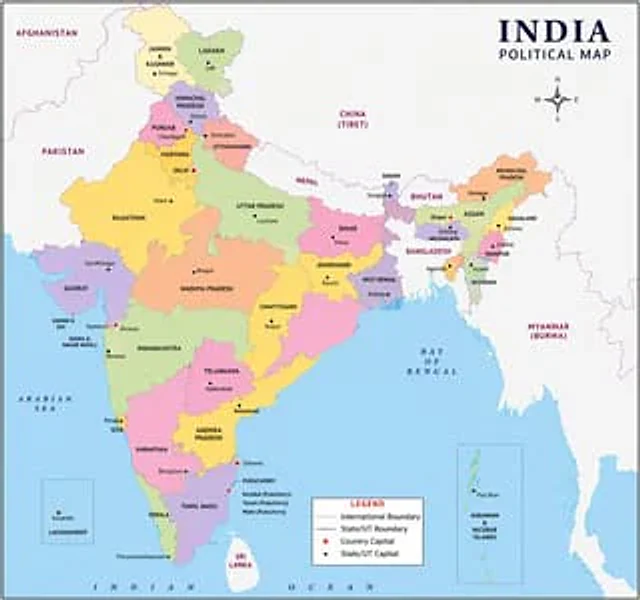
One{argument name="region" default="indian"} Images of political maps使用方法
- 复制完整原始提示词,并保留其中的参数。
- 按需求替换主体、文字和构图要求。
- 在兼容的外部工具中使用,核对当前使用条件并检查结果。
开始前需了解
- 先确认是否需要参考图。标注兼容模型,不代表该示例由这个模型生成。
- 核对名称、数字与画面文字;不同模型版本的结果可能不同。
GPT Image 2 · en
One{argument name="region" default="indian"} Images of political maps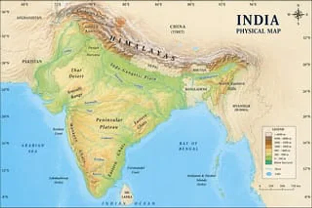
A location{argument name="country" default="Indian"} Images on physical maps
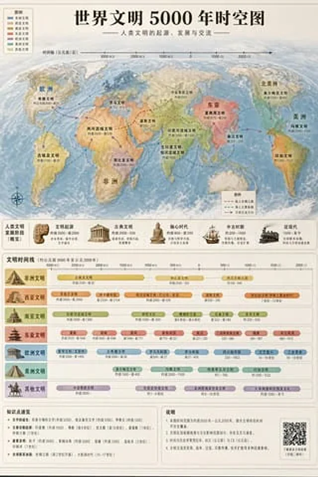
Accurately visualized in a popular science style{argument name="subject" default="A 5000-year time map of world civilization"} It also includes both time and space dimensions.
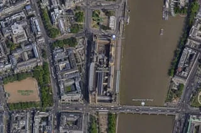
A high-resolution top-down satellite map view of central {argument name="city" default="London"}, focused tightly on the area around {argument name="landmark" default="Big Ben"} and the Palace of Westminster beside the River Thames. Show a realistic aerial orthographic perspectiv

right{argument name="study topic" default="Web full-stack fundamentals required for VibeCoding"} Provide a visual demonstration and list 10 top-level full-stack project demos that can be created.