원본 문서
GPT Image 2 · en
Scene:
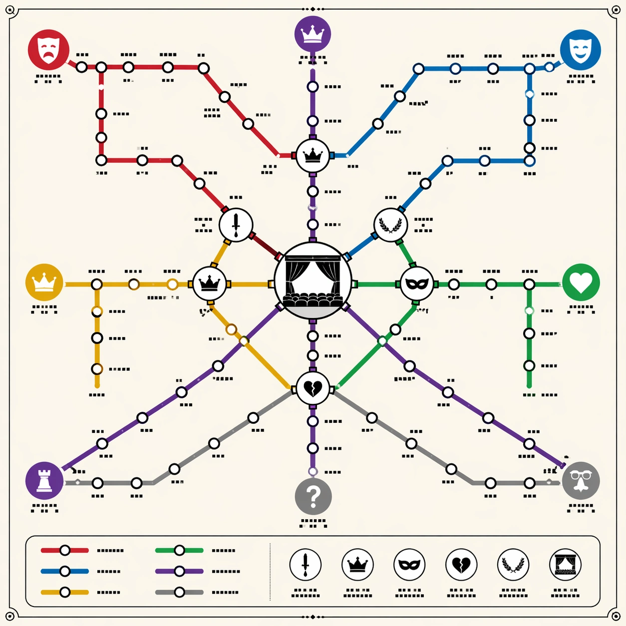
A square poster-style transit diagram on clean off-white paper, viewed straight-on with precise vector-like linework. The overall language should recall a premium city subway map: colored route lines, circular stations, transfer hubs, a small legend panel, and disciplined margins. Use warm ivory background, black station outlines, and six saturated but tasteful route colors. Keep the lighting flat and print-like, not photorealistic.

Subject:
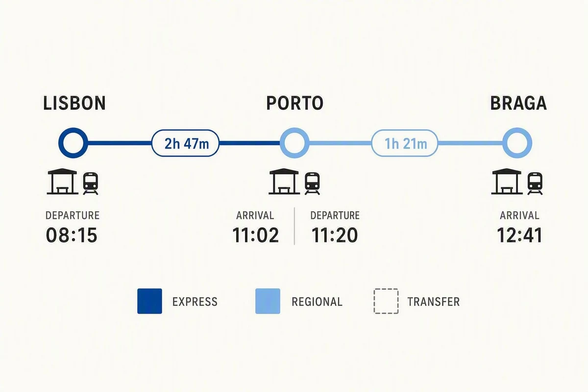
A thematic subway map that abstracts Shakespeare's dramatic universe into routes. One red tragedy line, one blue comedy line, one gold history line, one green romance line, one violet power line, and one gray mistaken-identity line cross through a central interchange shaped like a stage. Station dots cluster as play-like narrative nodes, with larger transfer circles where themes overlap: ambition, exile, disguise, royal succession, revenge, and reconciliation. Small theater icons and mask symbols mark major route families.

Important details:
The map must look logically planned, not like random spaghetti. Lines should run at transit-map angles, mostly horizontal, vertical, or forty-five degrees, with clean bends, consistent station spacing, and clear crossings. Use tiny non-readable glyph blocks where labels would be; no actual readable words. The viewer should understand the knowledge abstraction through line color, transfers, icons, and hierarchy. Include a tidy legend area made of colored swatches and glyph marks, but no legible text.

Use case:
Thematic Subway Map single study 1/8, testing literary relationship abstraction through professional transit-map topology and transfer logic.

Constraints:
No readable text, no watermark, no logos, preserve exact 1:1 aspect ratio, no real transit authority branding, no map of London geography, no messy overlapping labels, no random colored noodles, no perspective tilt, no torn-paper texture.
사용 방법
- 매개변수를 포함한 전체 원본 프롬프트를 복사하세요.
- 주제, 문구, 구도를 자신의 요구에 맞게 바꾸세요.
- 호환되는 외부 도구에서 사용하고 이용 조건과 결과를 확인하세요.
시작 전 확인
- 참조 이미지가 필요한지 확인하세요. 호환 표시는 해당 모델로 이 예시를 생성했다는 뜻이 아닙니다.
- 이름, 수치, 이미지 속 문구를 확인하세요. 모델 버전에 따라 결과가 다를 수 있습니다.