Original document
GPT Image 2 · en
Scene:
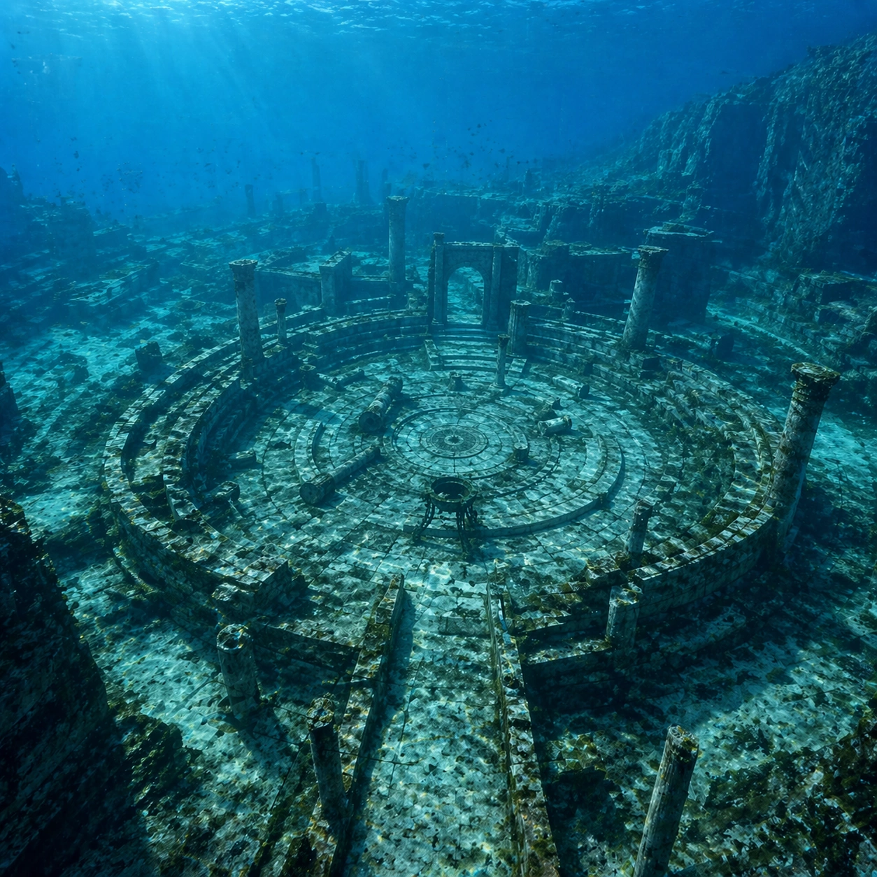
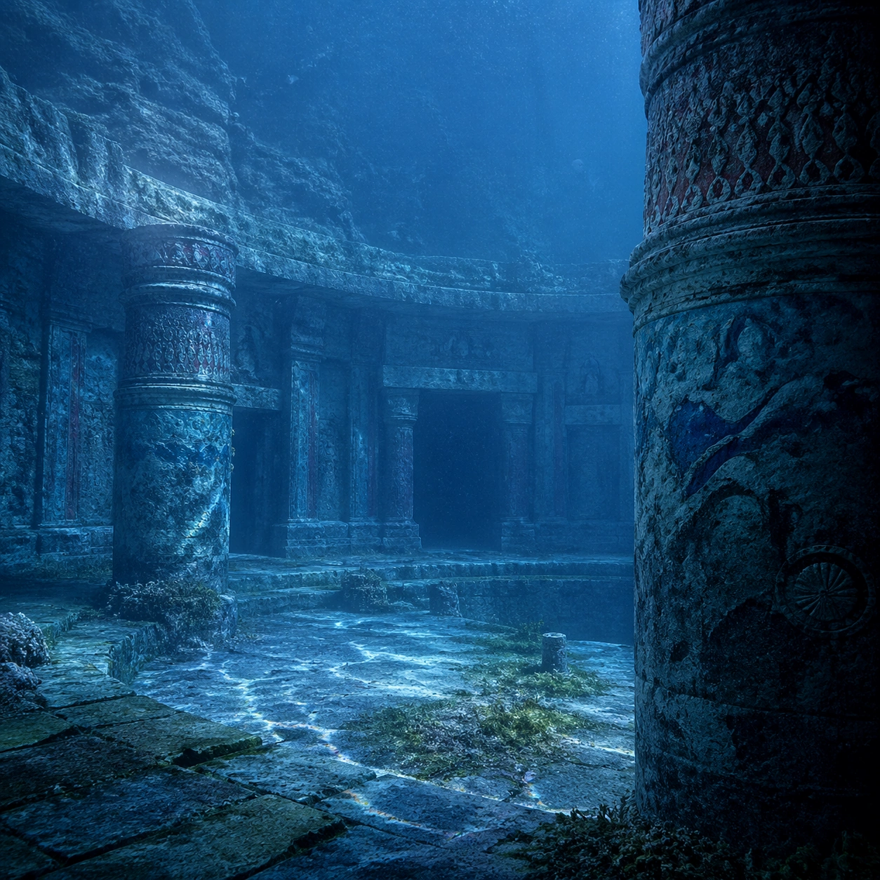
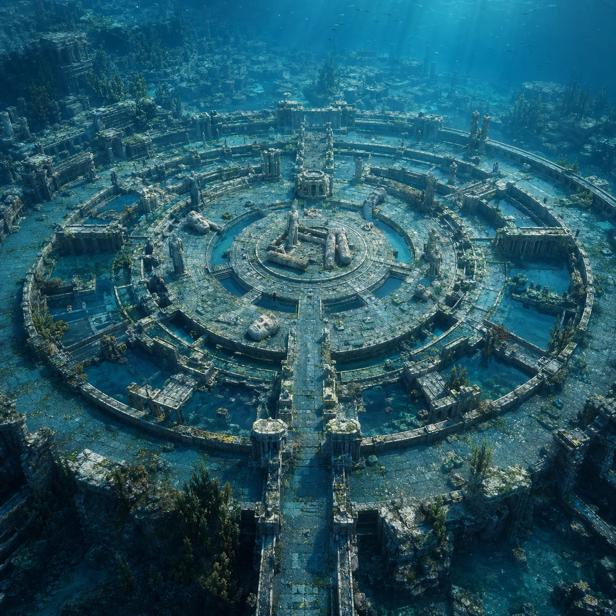
A square survey-oriented image that explains spatial logic with the clarity of an expert field overview while still reading as a finished artwork. Use a stable elevated vantage, clean depth layering, and enough visible terrain or architecture to make relationships legible without turning the frame into a literal map. The scene should feel analytical and cinematic at the same time.

Subject:
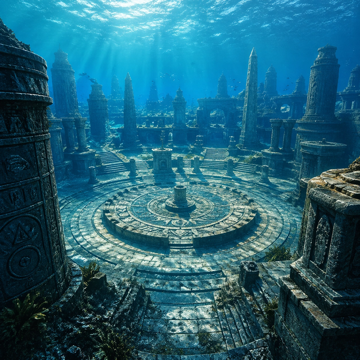
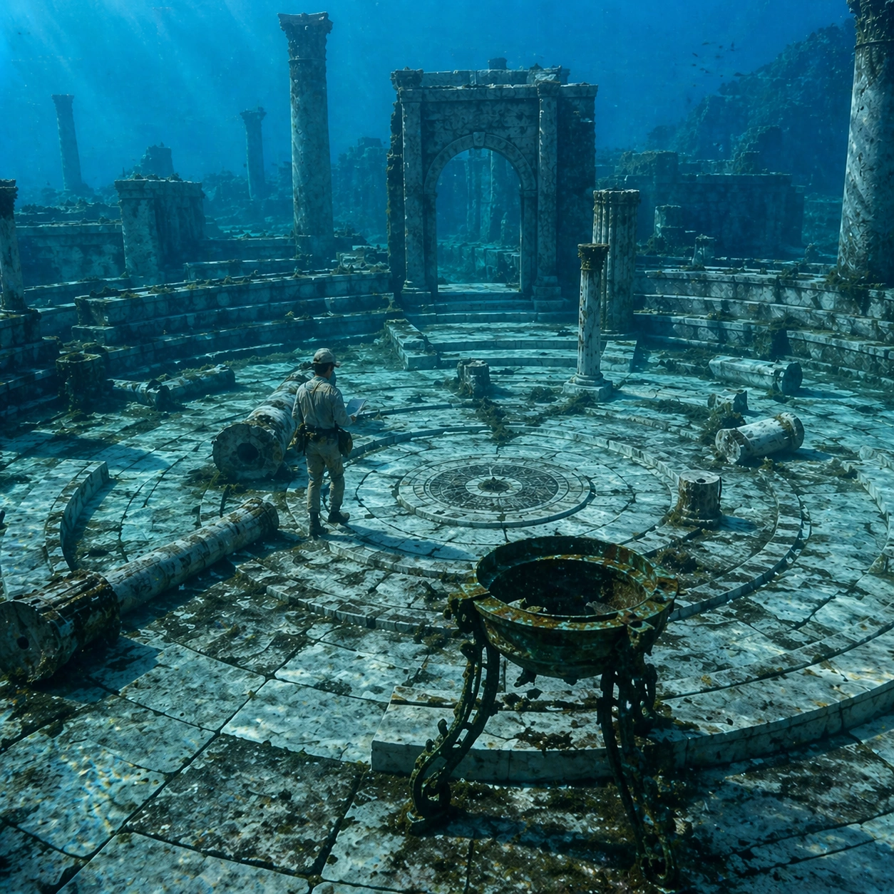
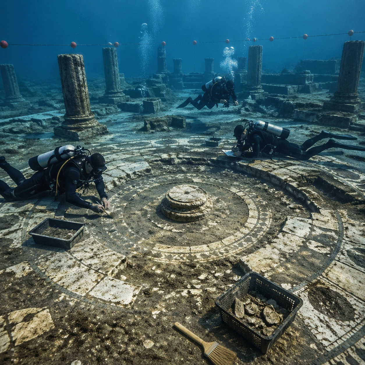
Show a high underwater perspective that reveals the circular plan, processional routes, broken statuary positions, and surrounding ring walls as one coherent urban diagram. Organize the composition so paths, terraces, walls, courtyards, chambers, canals, root systems, or quarry clusters can be read as a coherent system. The image should reveal how the civilization used land, water, elevation, enclosure, or monumentality. Keep all architecture, materials, and environmental details consistent with the correct place and period.

Important details:
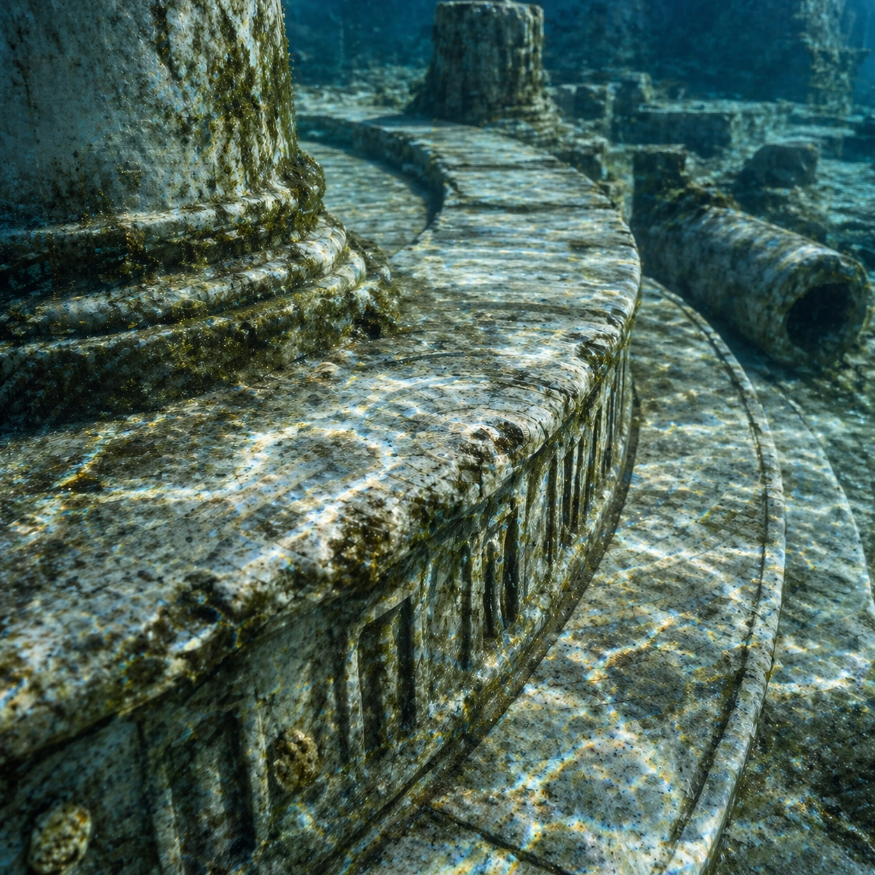
Keep the city logic disciplined and archaeological even though it is speculative: ring geometry, civic axes, hydrodynamic wear, and material aging should feel plausible rather than mythic excess. This image should reward close looking by showing infrastructural logic: how stone courses align, how water moves, how rooms connect, how carved masses sit inside geology, or how vegetation interacts with built form. Avoid explicit annotation. Let composition, light, and scale cues do the explanatory work. Keep any measuring elements generic and unreadable, and make the image feel like serious research made visually elegant.

Use case:
Atlantis Underwater Plaza single study 8/9.

Constraints:
No readable text, no watermark, no logos, preserve exact 1:1 aspect ratio, no mermaids, no glowing crystals, no submarines, no futuristic domes, no infographic arrows, no split-screen layout, no impossible aerial geometry, no unrelated settlements.
How to use
- Copy the complete original prompt, including any parameters.
- Replace the subject, text and composition with your own requirements.
- Use a compatible external tool; check its current access conditions and review the result.
Before you start
- Check whether a reference image is required. A compatible model label does not mean this example was generated with that model.
- Keep names, figures and visible text accurate; results can vary between model versions.