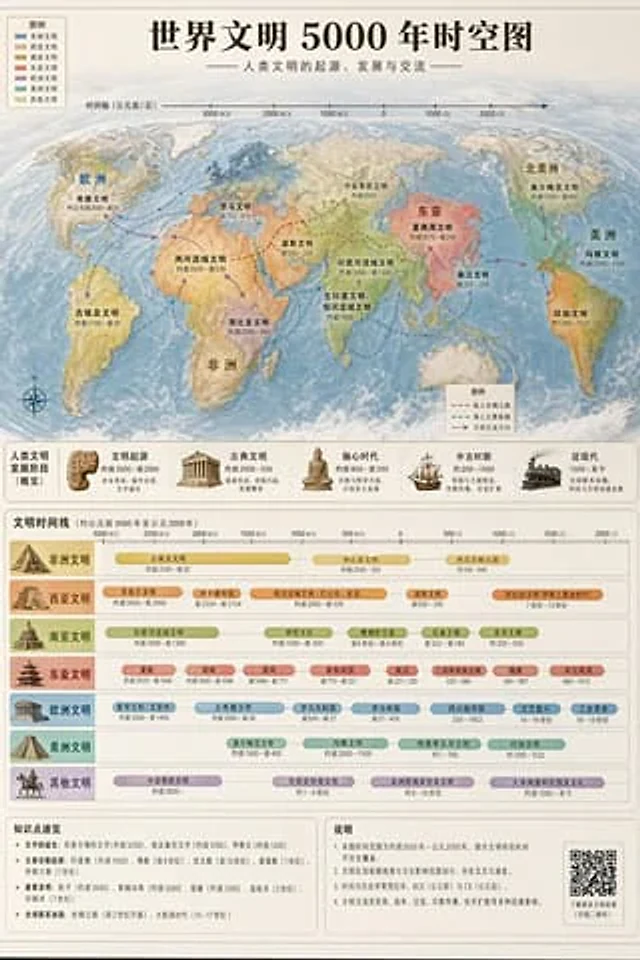
World Civilization Spatiotemporal Map

World Civilization Spatiotemporal Map

Documento original

GPT Image 2 · en

Accurately visualized in a popular science style{argument name="subject" default="A 5000-year time map of world civilization"} It also includes both time and space dimensions.

Como usar

  1. Copie o prompt original completo, incluindo os parâmetros.
  2. Adapte o tema, o texto e a composição aos seus requisitos.
  3. Use uma ferramenta externa compatível; confira o acesso e o resultado.

Antes de começar

  • Verifique se é necessária uma imagem de referência. Compatibilidade não comprova qual modelo gerou o exemplo.
  • Confira nomes, números e textos; os resultados variam entre versões do modelo.
Exemplos semelhantes

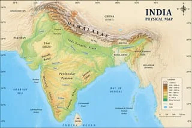
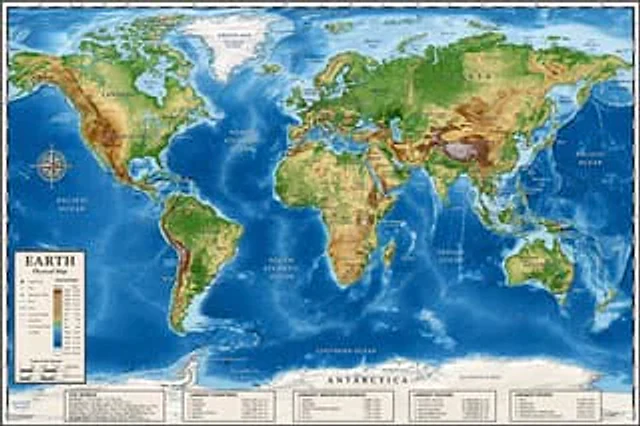
Detailed Physical World Map with Info Panels
GPT Image 2en

{ "type": "Highly detailed cartographic world map", "style": "{argument name=\"color palette\" default=\"Realistic terrain and depth sounding colors\"}", "map_features": { "terrain": "The shading relief, in green, brown and white, shows mountains, valleys and plains.",

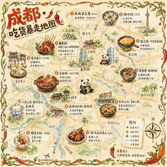
Hand-drawn Chengdu Food Map
GPT Image 2en

A{argument name="city" default="Chengdu"} A hand-drawn city food map themed around [the theme]. The image is a simplified hand-drawn city map based on a bird's-eye view, with major roads and landmarks marked in a cute, asymmetrical hand-drawn style. Twelve exquisite small hand-dr

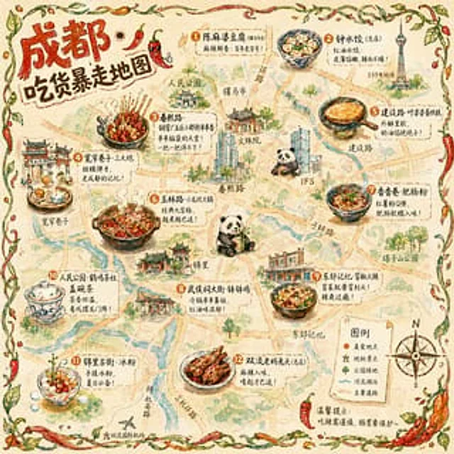
Illustrated City Food Map
GPT Image 2en

{ "type": "Hand-drawn map infographic", "style": "{argument name=\"art style\" default=\"Watercolor ink hand-drawn illustrations on vintage parchment\"}", "title_section": { "text": "{argument name=\"city name\" default=\"Chengdu\"} {argument name=\"map title\" default=

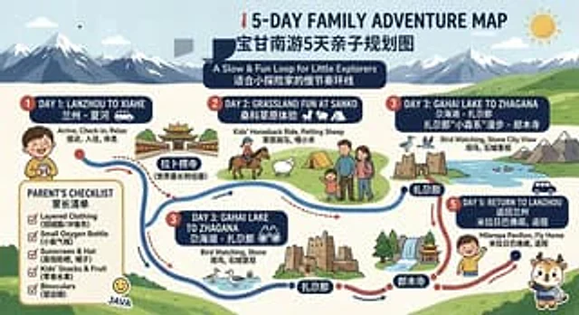
Bilingual 5-Day Family Travel Map
GPT Image 2en

{ "type": "Bilingual illustrated tourist information route map", "style": "Flat, brightly colored family poster illustrations, using simple vector shapes, soft textured shadows, and a playful travel brochure aesthetic, with a wide horizontal layout.", "theme": "5-Day Family