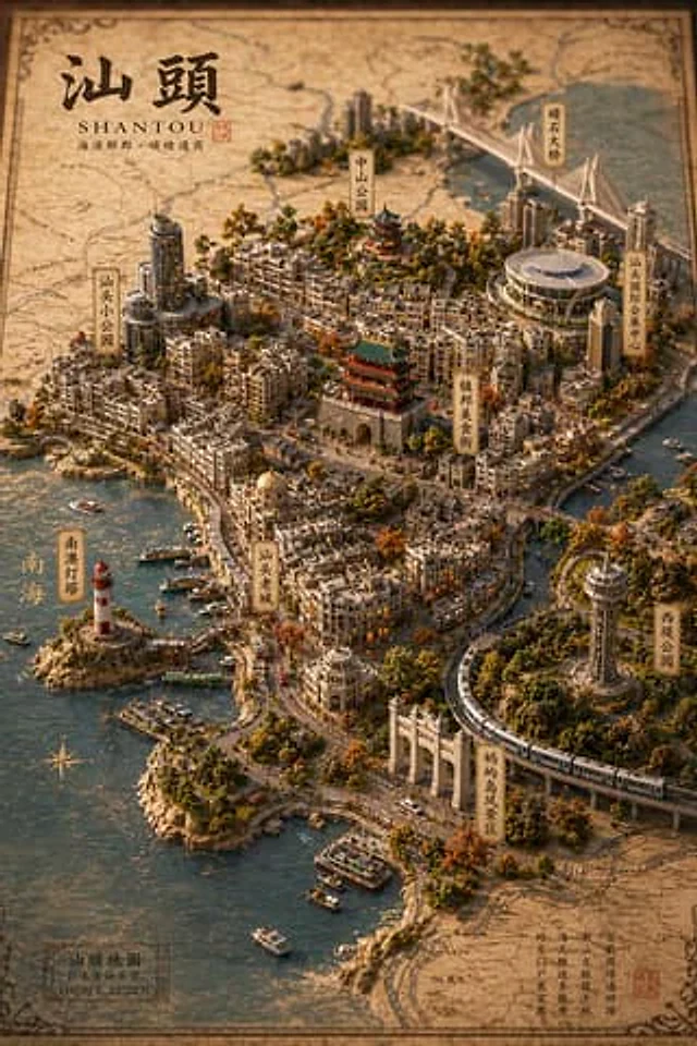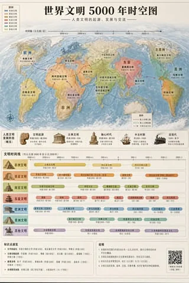
World Civilization Spatiotemporal Map

World Civilization Spatiotemporal Map

Original document

GPT Image 2 · en

Accurately visualized in a popular science style{argument name="subject" default="A 5000-year time map of world civilization"} It also includes both time and space dimensions.

How to use

  1. Copy the complete original prompt, including any parameters.
  2. Replace the subject, text and composition with your own requirements.
  3. Use a compatible external tool; check its current access conditions and review the result.

Before you start

  • Check whether a reference image is required. A compatible model label does not mean this example was generated with that model.
  • Keep names, figures and visible text accurate; results can vary between model versions.
More like this

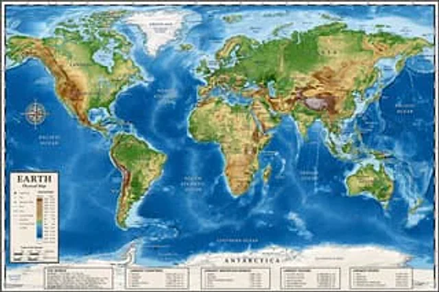
Detailed Physical World Map with Info Panels
GPT Image 2en

{ "type": "Highly detailed cartographic world map", "style": "{argument name=\"color palette\" default=\"Realistic terrain and depth sounding colors\"}", "map_features": { "terrain": "The shading relief, in green, brown and white, shows mountains, valleys and plains.",

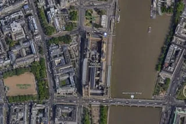
Satellite Map of Big Ben Area
GPT Image 2en

A high-resolution top-down satellite map view of central {argument name="city" default="London"}, focused tightly on the area around {argument name="landmark" default="Big Ben"} and the Palace of Westminster beside the River Thames. Show a realistic aerial orthographic perspectiv

Landscape Archive Model Map
GPT Image 2zh

请根据【{argument name="主题" default="主题"}】创作一张高完成度、高质感、适合系列化发布的「地景档案模型 / Landscape Archive Model」视觉图。 这不是普通地图,也不是普通风景插画或城市效果图,而是一张结合“二维地图图纸 + 三维立体区域模型 + 专业说明系统 + 博物馆展陈感”的高端档案式视觉图。画面需要像一件被真实制作出来的地理研究模型、城市规划沙盘、建筑提案模型或世界观设定展品,具有专业、克制、精密、可触摸的高级质感。 【基础设定】 主题:【{argument name="主题内容" defau

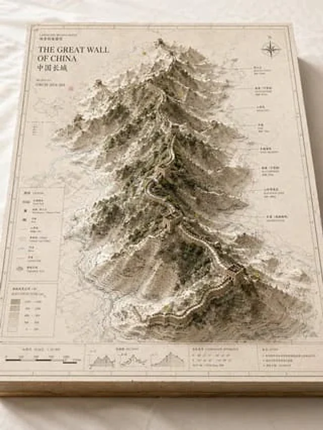
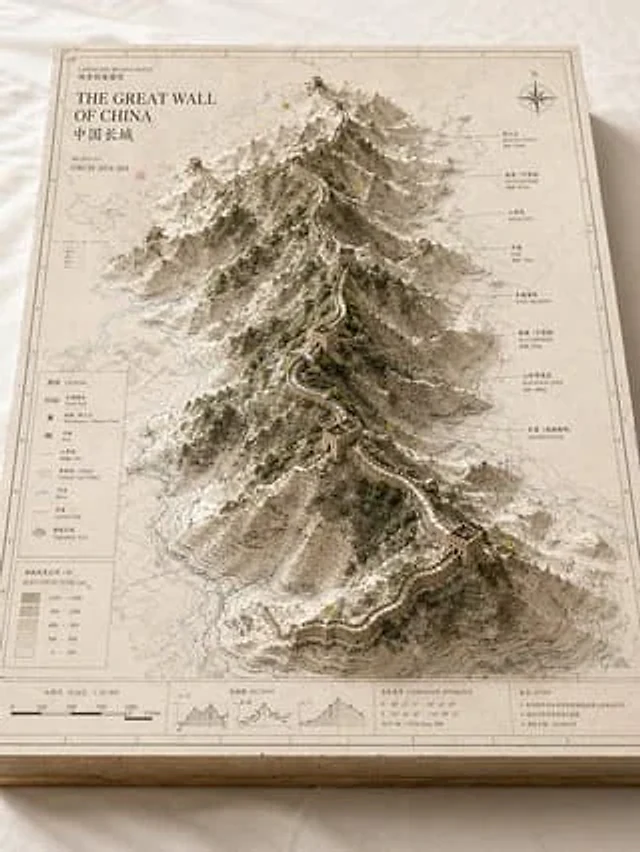
Landscape Archive Model Map
GPT Image 2en

Please base on{argument name="subject" default="Great Wall / Mount Everest / The Bund / Pearl River"} Create a high-quality, professional "landscape archive model" visual suitable for a series of presentations. This is more than just a regular map or simple landscape illustration

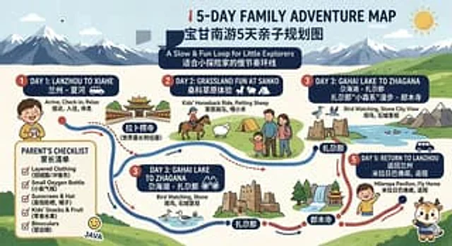
Bilingual 5-Day Family Travel Map
GPT Image 2en

{ "type": "Bilingual illustrated tourist information route map", "style": "Flat, brightly colored family poster illustrations, using simple vector shapes, soft textured shadows, and a playful travel brochure aesthetic, with a wide horizontal layout.", "theme": "5-Day Family

Vintage 3D Miniature City Map
GPT Image 2en

{ "type": "Isometric 3D map illustration", "style": "Retro map-drawing style, combined with highly detailed miniature models, warm lighting, and tilt-shift photography effects.", "background": "Old parchment with faint contour lines and map grids", "title_section": {