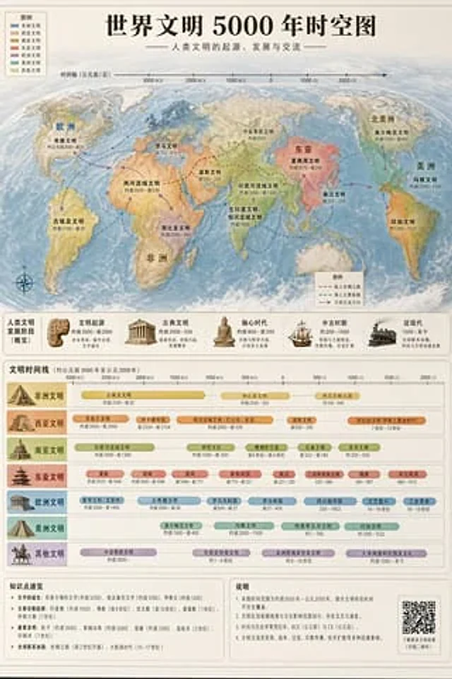
World Civilization Spatiotemporal Map

World Civilization Spatiotemporal Map

原始文档

GPT Image 2 · en

Accurately visualized in a popular science style{argument name="subject" default="A 5000-year time map of world civilization"} It also includes both time and space dimensions.

使用方法

  1. 复制完整原始提示词,并保留其中的参数。
  2. 按需求替换主体、文字和构图要求。
  3. 在兼容的外部工具中使用,核对当前使用条件并检查结果。

开始前需了解

  • 先确认是否需要参考图。标注兼容模型,不代表该示例由这个模型生成。
  • 核对名称、数字与画面文字;不同模型版本的结果可能不同。

相似案例

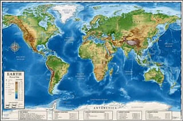
Detailed Physical World Map with Info Panels
GPT Image 2en

{ "type": "Highly detailed cartographic world map", "style": "{argument name=\"color palette\" default=\"Realistic terrain and depth sounding colors\"}", "map_features": { "terrain": "The shading relief, in green, brown and white, shows mountains, valleys and plains.",

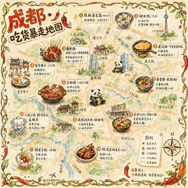
Hand-drawn Chengdu Food Map
GPT Image 2en

A{argument name="city" default="Chengdu"} A hand-drawn city food map themed around [the theme]. The image is a simplified hand-drawn city map based on a bird's-eye view, with major roads and landmarks marked in a cute, asymmetrical hand-drawn style. Twelve exquisite small hand-dr

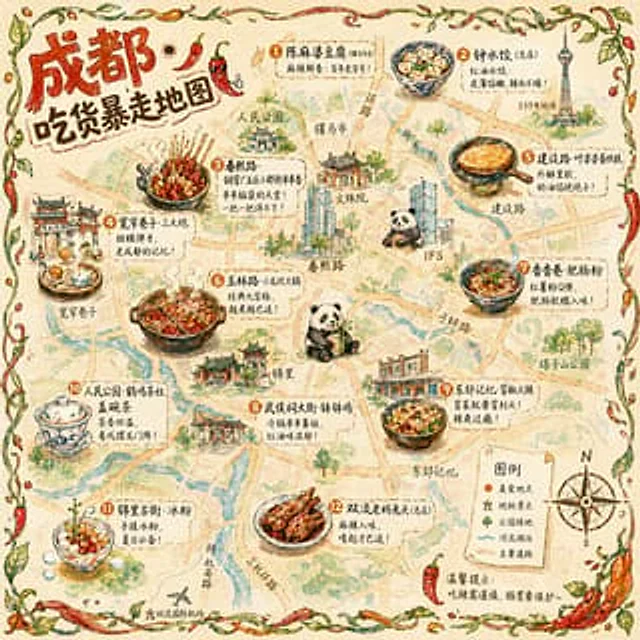
Illustrated City Food Map
GPT Image 2en

{ "type": "Hand-drawn map infographic", "style": "{argument name=\"art style\" default=\"Watercolor ink hand-drawn illustrations on vintage parchment\"}", "title_section": { "text": "{argument name=\"city name\" default=\"Chengdu\"} {argument name=\"map title\" default=

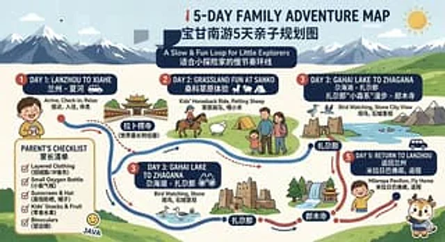
Bilingual 5-Day Family Travel Map
GPT Image 2en

{ "type": "Bilingual illustrated tourist information route map", "style": "Flat, brightly colored family poster illustrations, using simple vector shapes, soft textured shadows, and a playful travel brochure aesthetic, with a wide horizontal layout.", "theme": "5-Day Family