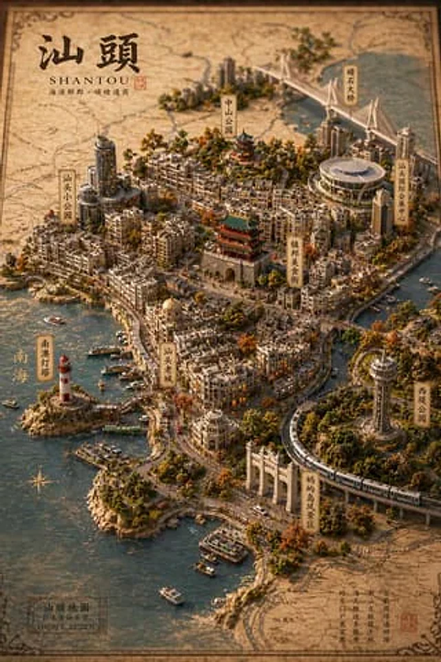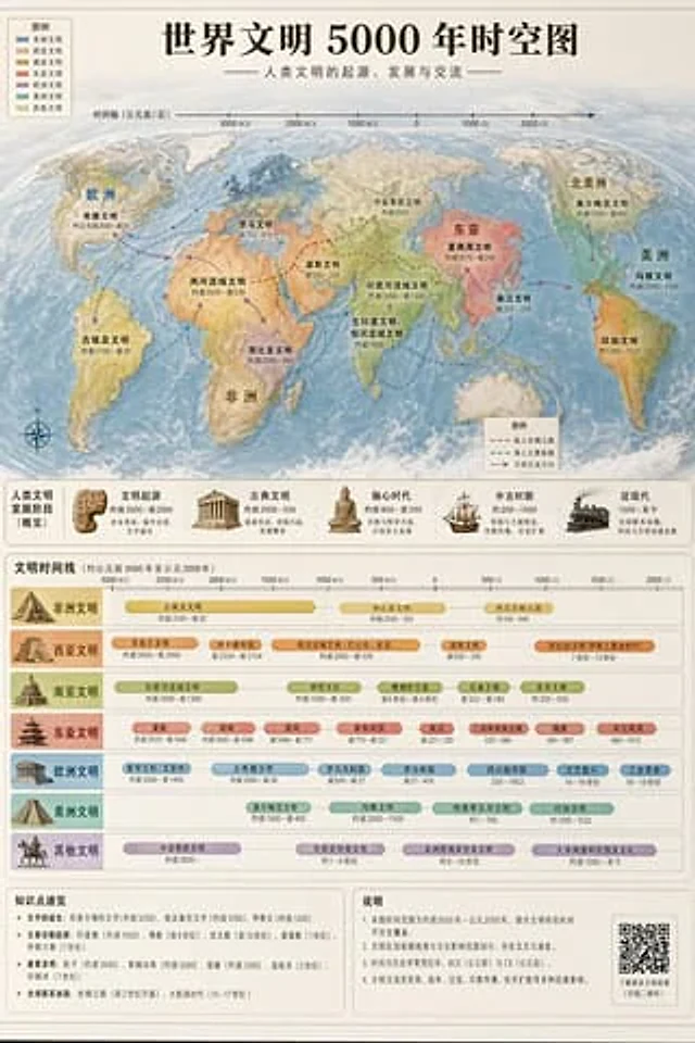
World Civilization Spatiotemporal Map

World Civilization Spatiotemporal Map

Oryginalny dokument

GPT Image 2 · en

Accurately visualized in a popular science style{argument name="subject" default="A 5000-year time map of world civilization"} It also includes both time and space dimensions.

Jak używać

  1. Skopiuj cały oryginalny prompt wraz z parametrami.
  2. Dostosuj temat, tekst i kompozycję do swoich potrzeb.
  3. Użyj zgodnego narzędzia zewnętrznego; sprawdź warunki dostępu i wynik.

Przed rozpoczęciem

  • Sprawdź, czy potrzebny jest obraz referencyjny. Zgodność nie potwierdza modelu użytego do przykładu.
  • Sprawdź nazwy, liczby i napisy; wyniki zależą od wersji modelu.
Podobne przykłady

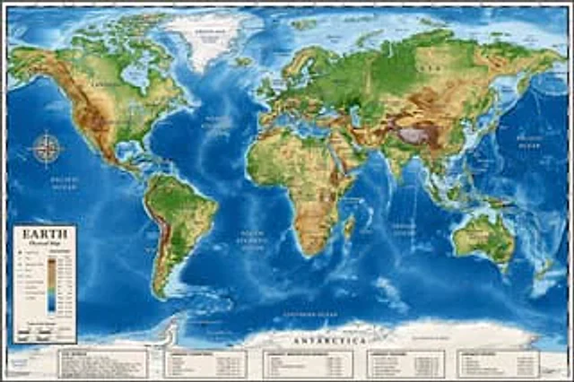
Detailed Physical World Map with Info Panels
GPT Image 2en

{ "type": "Highly detailed cartographic world map", "style": "{argument name=\"color palette\" default=\"Realistic terrain and depth sounding colors\"}", "map_features": { "terrain": "The shading relief, in green, brown and white, shows mountains, valleys and plains.",

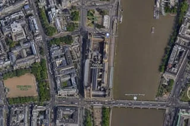
Satellite Map of Big Ben Area
GPT Image 2en

A high-resolution top-down satellite map view of central {argument name="city" default="London"}, focused tightly on the area around {argument name="landmark" default="Big Ben"} and the Palace of Westminster beside the River Thames. Show a realistic aerial orthographic perspectiv

Landscape Archive Model Map
GPT Image 2zh

请根据【{argument name="主题" default="主题"}】创作一张高完成度、高质感、适合系列化发布的「地景档案模型 / Landscape Archive Model」视觉图。 这不是普通地图,也不是普通风景插画或城市效果图,而是一张结合“二维地图图纸 + 三维立体区域模型 + 专业说明系统 + 博物馆展陈感”的高端档案式视觉图。画面需要像一件被真实制作出来的地理研究模型、城市规划沙盘、建筑提案模型或世界观设定展品,具有专业、克制、精密、可触摸的高级质感。 【基础设定】 主题:【{argument name="主题内容" defau

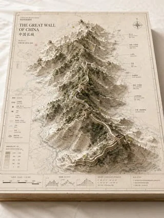
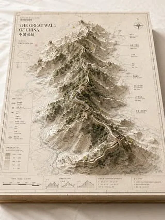
Landscape Archive Model Map
GPT Image 2en

Please base on{argument name="subject" default="Great Wall / Mount Everest / The Bund / Pearl River"} Create a high-quality, professional "landscape archive model" visual suitable for a series of presentations. This is more than just a regular map or simple landscape illustration

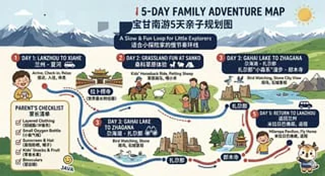
Bilingual 5-Day Family Travel Map
GPT Image 2en

{ "type": "Bilingual illustrated tourist information route map", "style": "Flat, brightly colored family poster illustrations, using simple vector shapes, soft textured shadows, and a playful travel brochure aesthetic, with a wide horizontal layout.", "theme": "5-Day Family

Vintage 3D Miniature City Map
GPT Image 2en

{ "type": "Isometric 3D map illustration", "style": "Retro map-drawing style, combined with highly detailed miniature models, warm lighting, and tilt-shift photography effects.", "background": "Old parchment with faint contour lines and map grids", "title_section": {