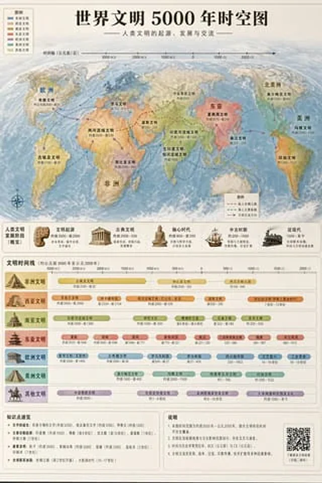
World Civilization Spatiotemporal Map

World Civilization Spatiotemporal Map

원본 문서

GPT Image 2 · en

Accurately visualized in a popular science style{argument name="subject" default="A 5000-year time map of world civilization"} It also includes both time and space dimensions.

사용 방법

  1. 매개변수를 포함한 전체 원본 프롬프트를 복사하세요.
  2. 주제, 문구, 구도를 자신의 요구에 맞게 바꾸세요.
  3. 호환되는 외부 도구에서 사용하고 이용 조건과 결과를 확인하세요.

시작 전 확인

  • 참조 이미지가 필요한지 확인하세요. 호환 표시는 해당 모델로 이 예시를 생성했다는 뜻이 아닙니다.
  • 이름, 수치, 이미지 속 문구를 확인하세요. 모델 버전에 따라 결과가 다를 수 있습니다.
비슷한 예시

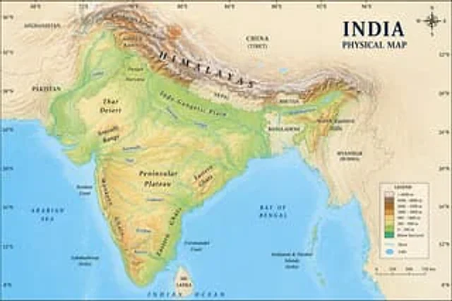
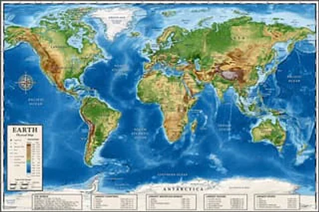
Detailed Physical World Map with Info Panels
GPT Image 2en

{ "type": "Highly detailed cartographic world map", "style": "{argument name=\"color palette\" default=\"Realistic terrain and depth sounding colors\"}", "map_features": { "terrain": "The shading relief, in green, brown and white, shows mountains, valleys and plains.",

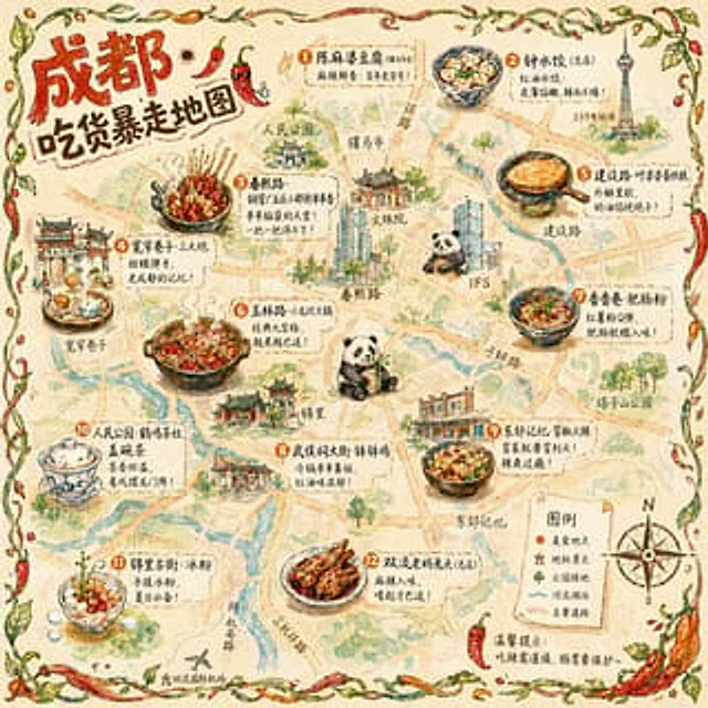
Hand-drawn Chengdu Food Map
GPT Image 2en

A{argument name="city" default="Chengdu"} A hand-drawn city food map themed around [the theme]. The image is a simplified hand-drawn city map based on a bird's-eye view, with major roads and landmarks marked in a cute, asymmetrical hand-drawn style. Twelve exquisite small hand-dr

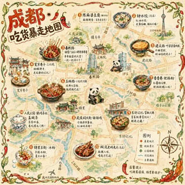
Illustrated City Food Map
GPT Image 2en

{ "type": "Hand-drawn map infographic", "style": "{argument name=\"art style\" default=\"Watercolor ink hand-drawn illustrations on vintage parchment\"}", "title_section": { "text": "{argument name=\"city name\" default=\"Chengdu\"} {argument name=\"map title\" default=

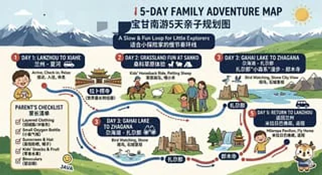
Bilingual 5-Day Family Travel Map
GPT Image 2en

{ "type": "Bilingual illustrated tourist information route map", "style": "Flat, brightly colored family poster illustrations, using simple vector shapes, soft textured shadows, and a playful travel brochure aesthetic, with a wide horizontal layout.", "theme": "5-Day Family